Summary
The ideal streamflow range for this river is between 100-500 cfs, with the best time to visit being in the spring when the snowmelt is at its peak. The class rating for this river ranges from II-III, with some sections reaching a class IV rating during high water.
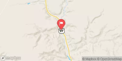
The segment mileage for Hogeye Creek is approximately 5.5 miles, starting at the Hogeye Creek Trailhead and ending at the confluence with the Green River. The river is known for its technical rapids, including "The Toilet Bowl," "The S-Turn," and "The Last Drop." These rapids offer a fun and challenging experience for intermediate to advanced paddlers.
In terms of regulations, Hogeye Creek is located within the Canyonlands National Park, and all visitors must obtain a backcountry permit before entering the area. Additionally, all visitors must follow Leave No Trace principles and pack out all trash. The use of portable toilets is also required, as there are no designated restroom facilities in the area.
Overall, Hogeye Creek is a great choice for intermediate to advanced paddlers looking for a fun and challenging whitewater experience. With its technical rapids, beautiful scenery, and unique regulations, the river offers a memorable adventure for all who visit.
°F
°F
mph
Wind
%
Humidity
15-Day Weather Outlook
River Run Details
| Last Updated | 2025-06-16 |
| River Levels | 14 cfs (8.0 ft) |
| Percent of Normal | 6% |
| Status | |
| Class Level | iv |
| Elevation | ft |
| Streamflow Discharge | cfs |
| Gauge Height | ft |
| Reporting Streamgage | USGS 09381800 |


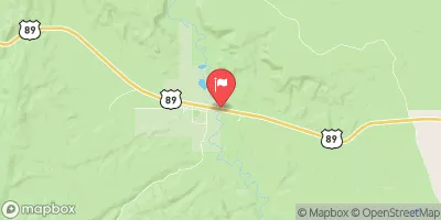

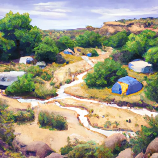 Campiing Hogeye Creek
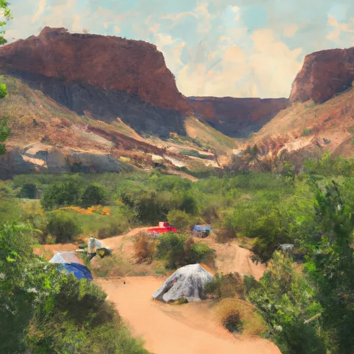 Hackberry Camping
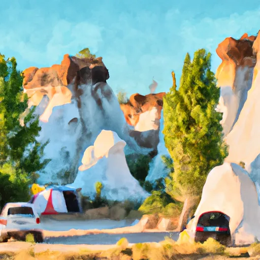 Cottonwood Hoodoo Camping
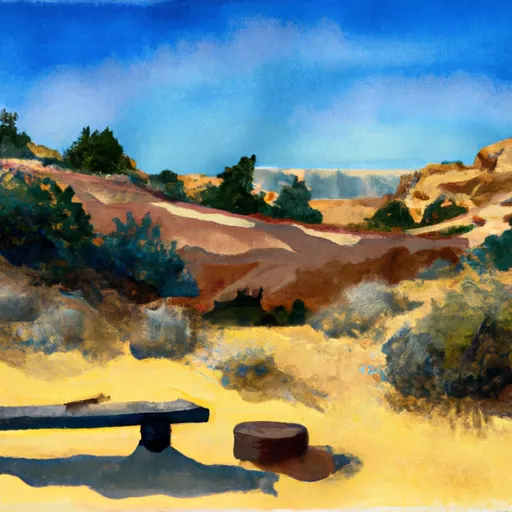 Rock Springs Bench Dispersed - Grand Staircase Nat Mon
 Kodachrome Basin State Park
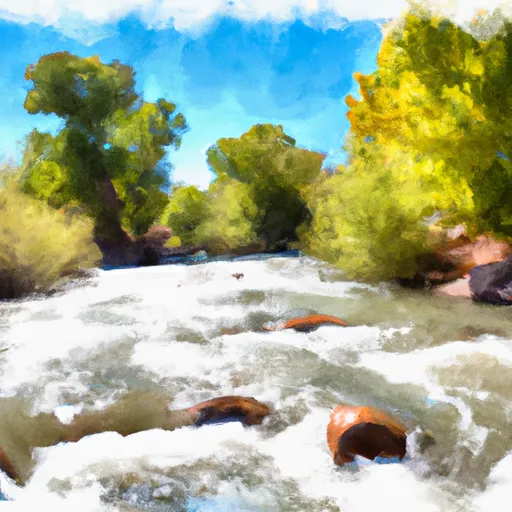 Hogeye Creek
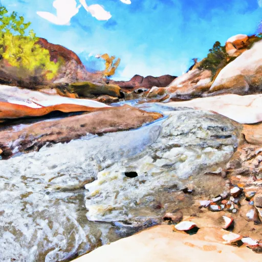 Paria River
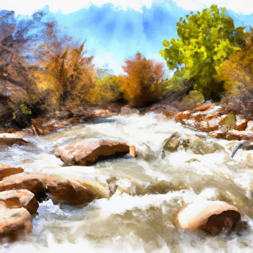 Hackberry Creek