2026-02-18T17:00:00-07:00
* WHAT...Snow expected. Total snow accumulations between 1 to 4 inches with higher totals up to 10 inches above 7000 feet. * WHERE...South Central Utah, Upper Sevier River Valleys, and Zion National Park. * WHEN...From 8 PM this evening to 5 PM MST Wednesday. * IMPACTS...Winter driving conditions are likely.
Summary
The ideal streamflow range for this river is between 100 and 300 cubic feet per second (cfs). The river is rated as Class III-IV, which means it has moderate to difficult rapids and obstacles that require advanced paddling skills.
The segment mileage for Silver Falls Creek is approximately 5 miles, and it features several challenging rapids and drops, including the Silver Falls Rapid, which is a Class IV rapid that drops over 15 feet. Other notable rapids on this river include the S Turn Rapid and the Three Forks Rapid.
There are specific regulations that apply to this area, including a permit requirement for all commercial outfitters who wish to guide trips on the river. Additionally, all paddlers must wear a properly fitted personal flotation device (PFD), and no glass containers or alcohol are allowed on the river.
Overall, Silver Falls Creek is a challenging and exciting river run that offers a thrilling whitewater experience for advanced paddlers. It is important to always check water levels and regulations before planning a trip to this area to ensure a safe and enjoyable experience.
°F
°F
mph
Wind
%
Humidity
15-Day Weather Outlook
River Run Details
| Last Updated | 2025-06-28 |
| River Levels | 14 cfs (1.76 ft) |
| Percent of Normal | 5% |
| Status | |
| Class Level | iii-iv |
| Elevation | ft |
| Streamflow Discharge | cfs |
| Gauge Height | ft |
| Reporting Streamgage | USGS 09337500 |


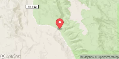
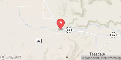
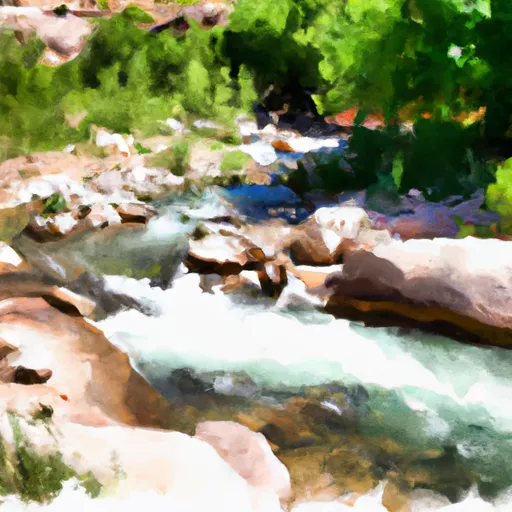 Silver Falls Creek
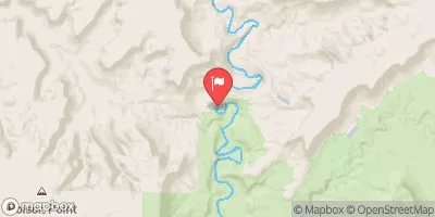
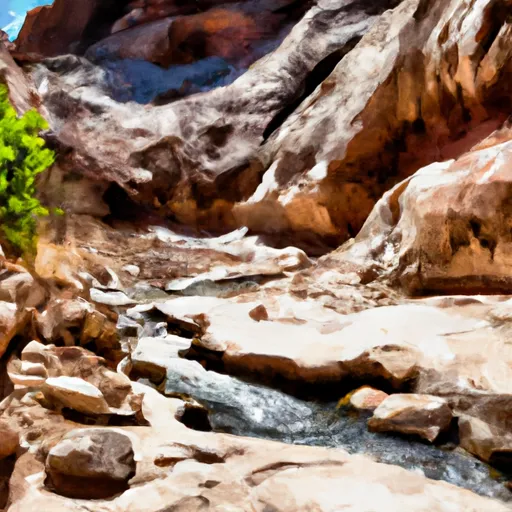 Choprock Canyon
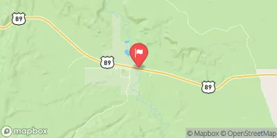
 Escalante River