Summary
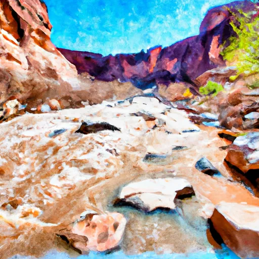
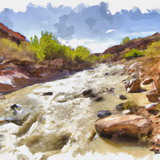
This class III-IV run is approximately 6.5 miles long and is best run during the spring months when the snowmelt increases water levels to an ideal streamflow range of 200-800 cfs.
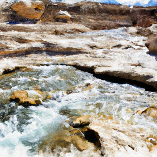
The segment of the river is characterized by technical rapids and obstacles, including steep drops and boulder gardens. The most notable rapids include Double Drop, S-Turn, and Hell’s Half Mile. The run is suitable for intermediate to advanced paddlers with some prior whitewater experience.
In addition to the challenges of the rapids, paddlers must also be aware of specific regulations in the area. The segment of Coal Wash, North Fork that runs through the Manti-La Sal National Forest is managed under a permit system. Paddlers must obtain a permit in advance and be prepared to adhere to specific guidelines, including proper equipment and safety measures.
Overall, Coal Wash, North Fork is an exciting and challenging whitewater run in southern Utah that is best tackled during the spring months when water levels are optimal. Paddlers should be prepared for technical rapids and obstacles, and must follow specific regulations to ensure a safe and enjoyable experience.
°F
°F
mph
Wind
%
Humidity
15-Day Weather Outlook
River Run Details
| Last Updated | 2025-06-28 |
| River Levels | 217 cfs (5.26 ft) |
| Percent of Normal | 61% |
| Status | |
| Class Level | iii-iv |
| Elevation | ft |
| Streamflow Discharge | cfs |
| Gauge Height | ft |
| Reporting Streamgage | USGS 09330500 |
5-Day Hourly Forecast Detail
Nearby Streamflow Levels
Area Campgrounds
| Location | Reservations | Toilets |
|---|---|---|
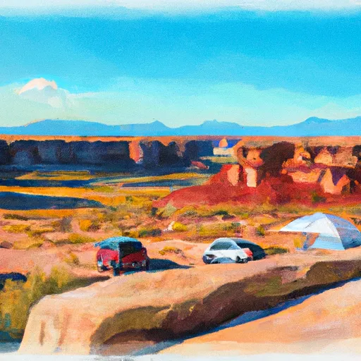 Wedge Overlook
|
||
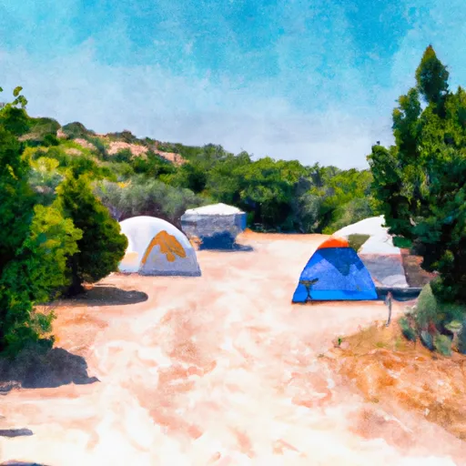 Swaseys Cabin Recreation Site
|
||
 The Wedge Camping Area
|


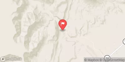
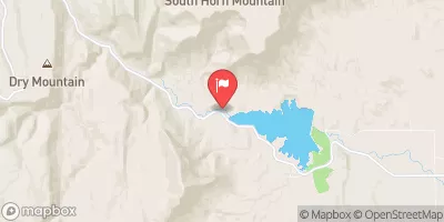
 Coal Wash, North Fork
 Coal Wash, South Fork
 Coal Wash