

Summary
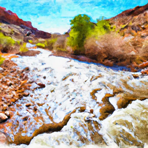
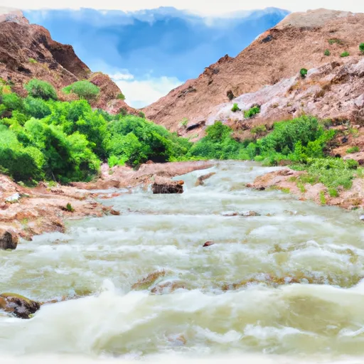
The ideal streamflow range for this run is between 300-600 cfs. It is rated as a Class III-IV river, which is best suited for intermediate to advanced paddlers. The segment mileage of this run is approximately 6.5 miles long.
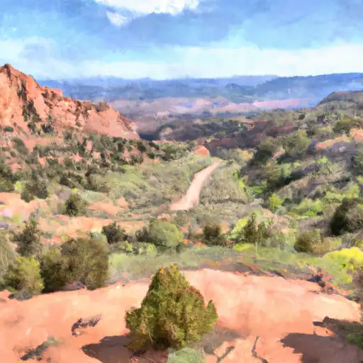
There are several significant rapids and obstacles to look out for when paddling Lower Deer Creek. One of the most challenging is the "Narrows," which is a tight and technical section of the river that requires precise maneuvering. Other notable rapids include "Cascades," "S-Turn," and "Pump House."
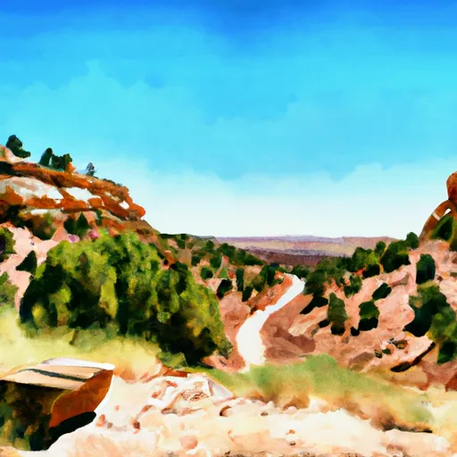
It is important to note that there are specific regulations in place for this area. All boaters are required to have a permit, which can be obtained through the United States Forest Service. Additionally, there are restrictions on camping, fires, and alcohol consumption along the river. Paddlers should also be aware of potential hazards such as low-hanging branches and rocks.
Regional Streamflow Levels
15-Day Long Term Forecast
River Run Details
| Last Updated | 2025-06-28 |
| River Levels | 14 cfs (1.76 ft) |
| Percent of Normal | 5% |
| Status | |
| Class Level | iii-iv |
| Elevation | ft |
| Streamflow Discharge | cfs |
| Gauge Height | ft |
| Reporting Streamgage | USGS 09337500 |

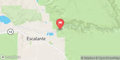
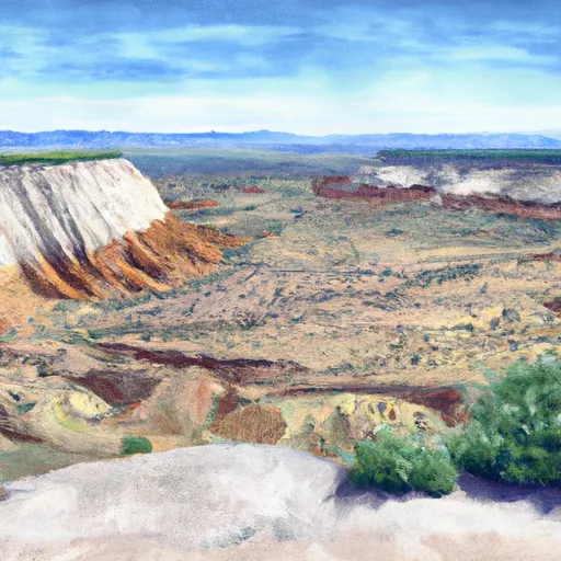
 Deer Creek- Burr Trail Rd - Grand Staircase Nat Mon
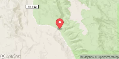
 Steep Creek Bench - Burr Trail Rd - Grand Staircase Nat Mon
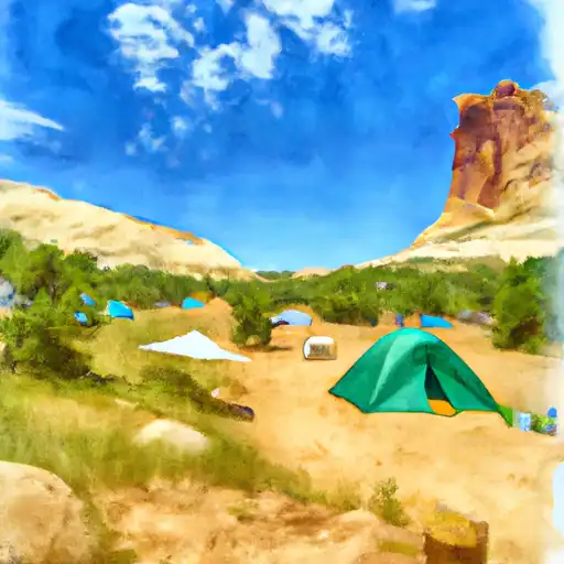
 Durffey Mesa Dispersed - Burr Trail Rd - Grand Staircase Nat Mon
 Calf Creek Recreation Area
 Calf Creek
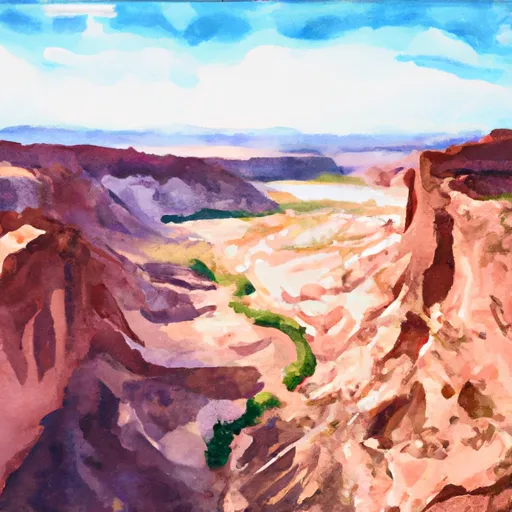 Horse Canyon - Grand Staircase Nat Mon
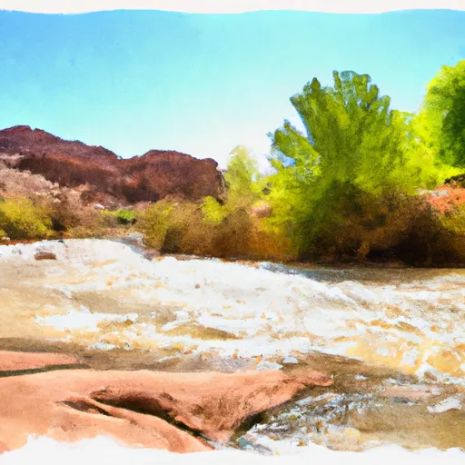 Lower Deer Creek
 Steep Creek
 The Gulch