2026-02-18T17:00:00-07:00
* WHAT...Snow expected. Total snow accumulations between 1 to 4 inches with higher totals up to 10 inches above 7000 feet. * WHERE...South Central Utah, Upper Sevier River Valleys, and Zion National Park. * WHEN...From 8 PM this evening to 5 PM MST Wednesday. * IMPACTS...Winter driving conditions are likely.
Summary
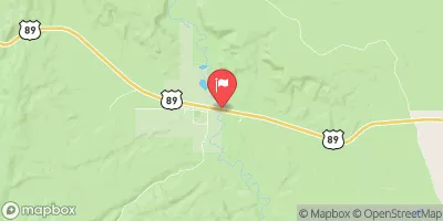
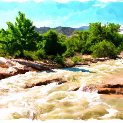
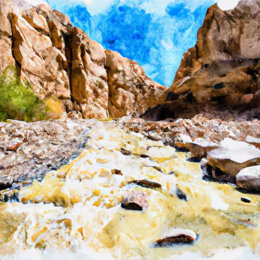
The ideal streamflow range for this section of the river is between 500 and 1500 cfs. The class rating for this segment is class III-IV, which means that it is suitable for experienced kayakers and rafters who are comfortable navigating through challenging rapids with strong currents and significant obstacles.
The section of the river includes numerous rapids and obstacles that challenge even the most experienced paddlers. Some of the most difficult rapids on this stretch include Pinball, S-Turn, and The Elbow. These rapids require precise maneuvering and quick reactions, as they are often unpredictable and can change rapidly depending on the level of the water.
There are specific regulations that apply to this section of the river. For example, all boaters are required to wear a personal flotation device (PFD) at all times while on the water. Additionally, boaters are not allowed to camp or build fires along the riverbank.
Overall, the Eastside Tributary #1 of the Whitewater River is a challenging and exciting section of river that offers experienced whitewater enthusiasts an opportunity to test their skills and push their limits. However, it is important to always exercise caution and follow all regulations to ensure a safe and enjoyable experience on the water.
°F
°F
mph
Wind
%
Humidity
15-Day Weather Outlook
River Run Details
| Last Updated | 2025-06-28 |
| River Levels | 56 cfs (4.09 ft) |
| Percent of Normal | 99% |
| Status | |
| Class Level | iii-iv |
| Elevation | ft |
| Streamflow Discharge | cfs |
| Gauge Height | ft |
| Reporting Streamgage | USGS 09330000 |


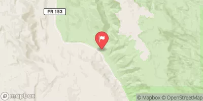
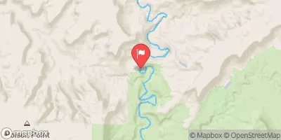
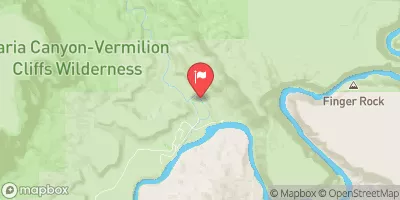
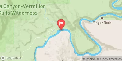
 Eastside Tributary #1
 Escalante River
 Fools Canyon
 Georgies Canyon