2026-02-19T05:00:00-07:00
* WHAT...Snow above 7000 feet. Total snow accumulations between 6 and 12 inches. Winds gusting as high as 55 mph. * WHERE...Tavaputs Plateau. * WHEN...Until 5 AM MST Thursday. * IMPACTS...Travel could be very difficult to impossible. The hazardous conditions could impact the Tuesday morning and evening commutes. Strong winds could cause tree damage.
Summary
The ideal streamflow range for this river run is between 200-800 cfs, with the optimal time to run being in the spring after snowmelt. The segment mileage of Bitter Creek is approximately 6 miles.
This river run features numerous rapids and obstacles, including the infamous "Bitter End" rapid, which is a Class V drop with multiple holes and a steep gradient. Other notable rapids include "Pinball" and "S-Turn."
As with any river run, it is important to be aware of specific regulations and guidelines in the area. Bitter Creek is located on Bureau of Land Management (BLM) land, and visitors are required to obtain a permit from the local BLM office before accessing the river. Additionally, all visitors must follow Leave No Trace principles and properly dispose of all waste.
Overall, Bitter Creek is a challenging and thrilling river run for experienced whitewater enthusiasts. It is important to always prioritize safety, follow regulations, and respect the natural environment when visiting any outdoor recreation area.
°F
°F
mph
Wind
%
Humidity
15-Day Weather Outlook
River Run Details
| Last Updated | 2025-06-28 |
| River Levels | 2570 cfs (5.33 ft) |
| Percent of Normal | 28% |
| Status | |
| Class Level | iv-v |
| Elevation | ft |
| Streamflow Discharge | cfs |
| Gauge Height | ft |
| Reporting Streamgage | USGS 09306500 |
5-Day Hourly Forecast Detail
Nearby Streamflow Levels
Area Campgrounds
| Location | Reservations | Toilets |
|---|---|---|
 Big Park V Campsite
|
||
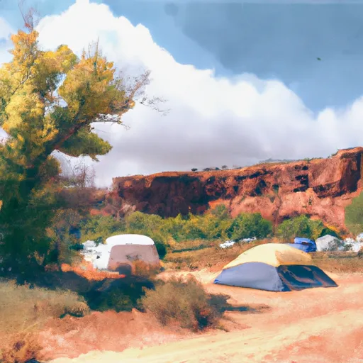 Zane Canyon Campsite
|
||
 Big Park East Campsite
|
||
 Book Cliffs Roadside Campsite
|
||
 Brewer Overlook Campsite
|
||
 Desperation Campsite
|


 Bitter Creek