

Summary
The ideal streamflow range for this river is between 100 and 200 cubic feet per second (cfs), which typically occurs in the spring and early summer months. It is important to note that flash floods can occur in this area, so it is crucial to check the weather forecast before planning a trip.
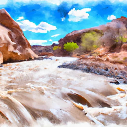
The Paria River is rated as a Class II-III river, with rapids ranging from easy to moderate difficulty. The segment of the river that is commonly used for rafting and kayaking is approximately 38 miles long, stretching from the town of Tropic to the Colorado River. This section of the river features several exciting rapids, including Big Drop, Last Chance, and Mile Long.
In addition to the rapids, the Paria River also offers stunning views of the surrounding red rock canyons and desert landscape. It is a popular destination for both experienced and novice paddlers, as well as hikers and backpackers who want to explore the nearby wilderness areas.
There are several regulations in place for the Paria River area, including restrictions on camping, campfires, and alcohol. It is important to obtain the necessary permits and follow all regulations to ensure a safe and enjoyable trip. Overall, the Paria River is a must-visit destination for anyone looking for a thrilling whitewater experience in a beautiful and unique setting.
Regional Streamflow Levels
 Paria River Near Kanab
|
4cfs |
 Paria River At Lees Ferry
|
5cfs |
 Colorado River At Lees Ferry
|
6740cfs |
 Kanab Creek Near Kanab
|
5cfs |
 East Fork Virgin River Near Glendale
|
8cfs |
 Sevier River At Hatch
|
106cfs |
15-Day Long Term Forecast
River Run Details
| Last Updated | 2025-06-16 |
| River Levels | 14 cfs (8.0 ft) |
| Percent of Normal | 6% |
| Status | |
| Class Level | ii-iii |
| Elevation | ft |
| Streamflow Discharge | cfs |
| Gauge Height | ft |
| Reporting Streamgage | USGS 09381800 |

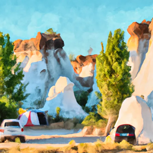
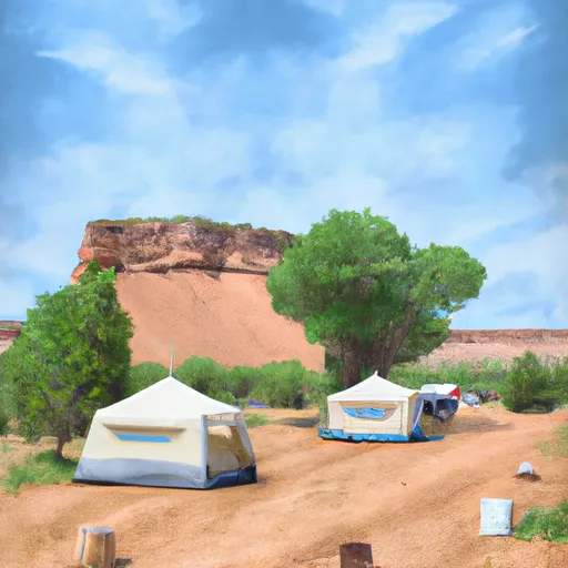 White House Campground
 White House Trailhead - Paria Canyon - Grand Staircase Nat Mon
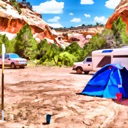
 Cottonwood Hoodoo Camping
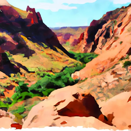 Buckskin Gulch - House Rock Valley
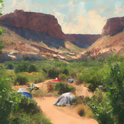 Hackberry Camping
 Kitchen Corral Wash - Grand Staircase Nat Mon
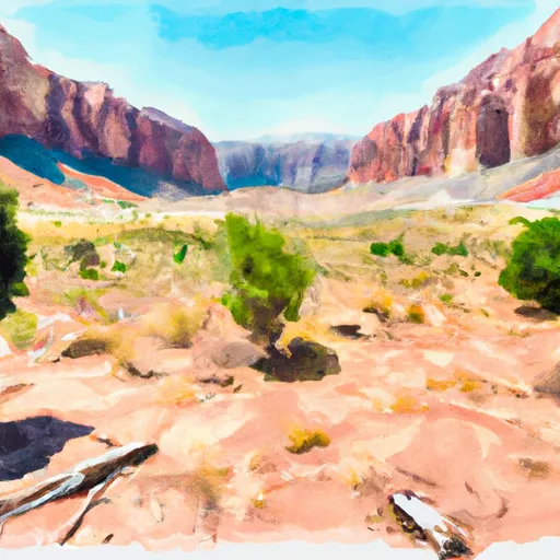
 Paria River
 Hackberry Creek