Summary
The ideal streamflow range for the Snake Creek run is between 200 and 500 cfs. The run is rated as a class III to IV, which means it is suitable for intermediate and advanced paddlers. The segment mileage of the run is approximately 6 miles.
The Snake Creek run is known for its challenging rapids and obstacles. The most notable rapids include the Entrance Rapid, Boulder Garden, S-Turn, and The Chute. These rapids require technical paddling skills and are best navigated with an experienced guide or paddler.
The Snake Creek run is subject to specific regulations to ensure safety and preserve the natural environment. These regulations include a permit requirement, a limit on the number of daily launches, and a prohibition on camping within 1/4 mile of the riverbank. Additionally, paddlers are required to carry out all trash and waste and are prohibited from disturbing or harming wildlife.
In conclusion, Snake Creek is a challenging whitewater river run in Utah that requires intermediate to advanced paddling skills. With its specific regulations and challenging obstacles, it is important for paddlers to be prepared and knowledgeable before embarking on this adventure.
°F
°F
mph
Wind
%
Humidity
15-Day Weather Outlook
River Run Details
| Last Updated | 2025-06-16 |
| River Levels | 14 cfs (8.0 ft) |
| Percent of Normal | 6% |
| Status | |
| Class Level | iii |
| Elevation | ft |
| Streamflow Discharge | cfs |
| Gauge Height | ft |
| Reporting Streamgage | USGS 09381800 |



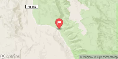
 Campiing Hogeye Creek
 Hackberry Camping
 Rock Springs Bench Dispersed - Grand Staircase Nat Mon
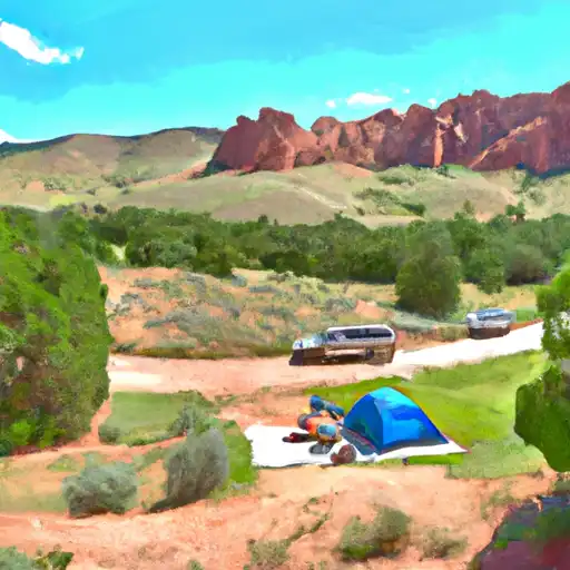 Kodachrome Basin State Park
 Cottonwood Hoodoo Camping
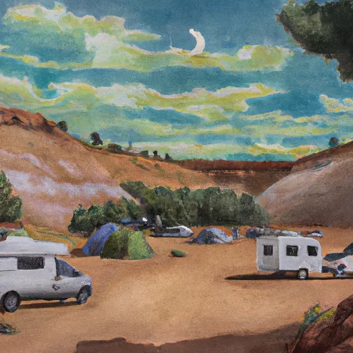 Kodachrome Campground
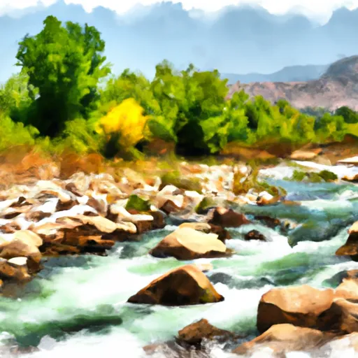 Snake Creek
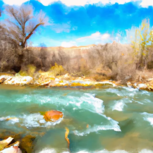 Hogeye Creek
 Hackberry Creek
 Paria River