

Summary
The ideal streamflow range for the river is between 100-500 cfs, but can fluctuate greatly depending on rainfall and snowmelt. The river is rated as a Class III-IV run, with challenging rapids and obstacles throughout its 40-mile segment.
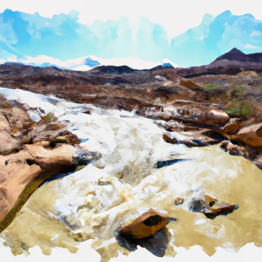
Some of the specific rapids and obstacles on the Dirty Devil River include Horseshoe Bend Rapid, which is a technical and challenging Class IV rapid, as well as many tight channels and narrow sections that require precise maneuvering. The river also features beautiful sandstone canyons and stunning desert scenery.
Regulations for the Dirty Devil River include obtaining a permit from the Bureau of Land Management (BLM) prior to launching, carrying a minimum of two spare oars or paddles, and packing out all trash and waste. Additionally, the BLM requires visitors to follow Leave No Trace principles and respect the fragile desert environment.
Overall, the Dirty Devil River is a challenging and rewarding river run for experienced paddlers looking for a remote and scenic wilderness adventure in southern Utah.
Regional Streamflow Levels
15-Day Long Term Forecast
River Run Details
| Last Updated | 2025-06-28 |
| River Levels | 162 cfs (6.14 ft) |
| Percent of Normal | 0% |
| Status | |
| Class Level | iii-iv |
| Elevation | ft |
| Streamflow Discharge | cfs |
| Gauge Height | ft |
| Reporting Streamgage | USGS 09333500 |

 Goblin Valley State Park
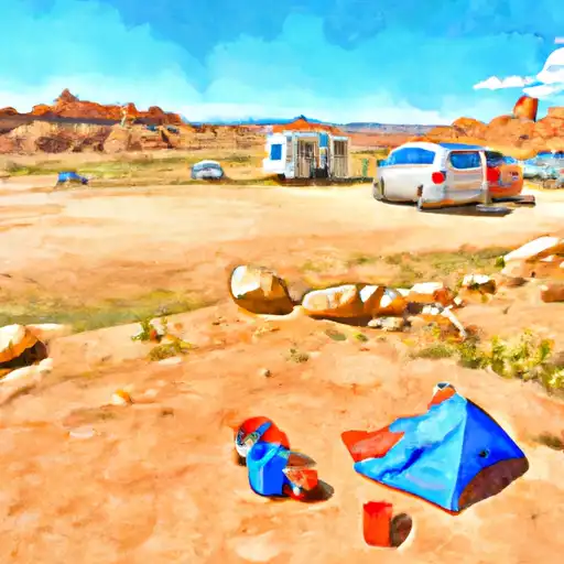
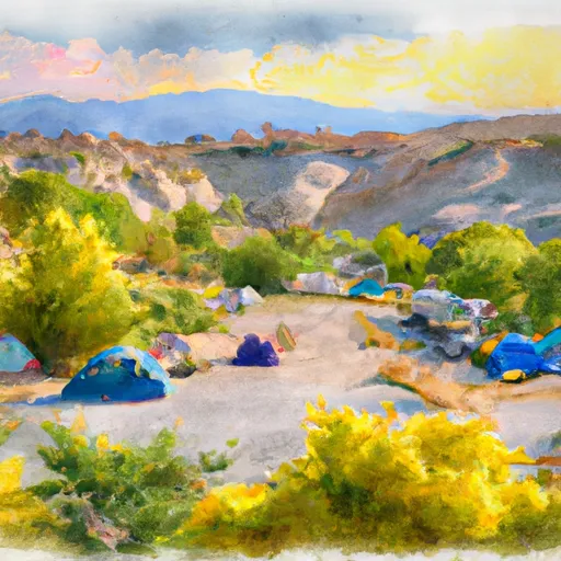
 Wild Horse Butte Camping Area
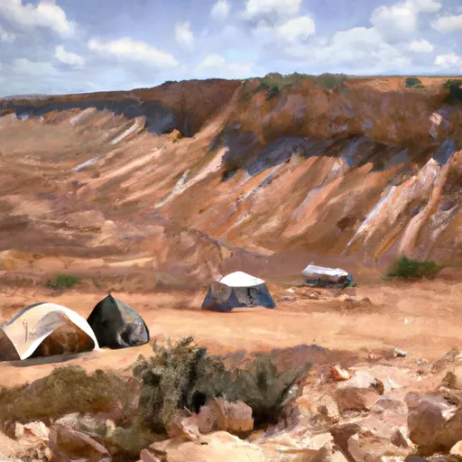 Coal Mine Wash Dispersed
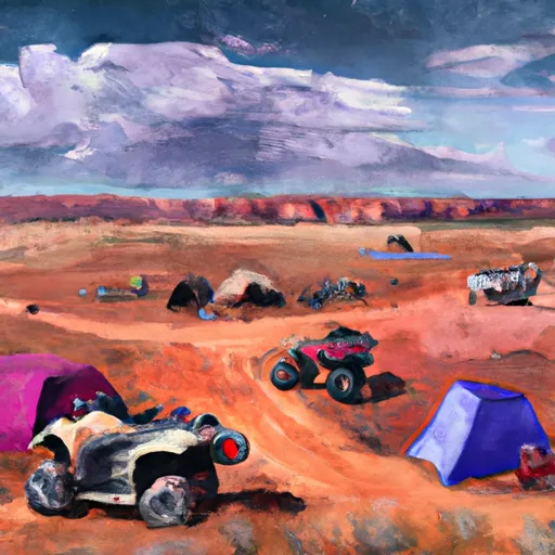 Swing Arm City OHV Dispersed
 Campground (not official !)
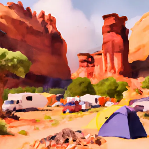 South Temple Wash Campground
 Dirty Devil River