2026-02-18T17:00:00-07:00
* WHAT...Snow expected. Total snow accumulations between 1 to 4 inches with higher totals up to 10 inches above 7000 feet. * WHERE...South Central Utah, Upper Sevier River Valleys, and Zion National Park. * WHEN...From 8 PM this evening to 5 PM MST Wednesday. * IMPACTS...Winter driving conditions are likely.
Summary
The ideal streamflow range for this river is between 200-500 cfs, and it is rated as a class III-IV run. The segment mileage of the run is approximately 5 miles, and it includes several exciting rapids and obstacles, including "Satan's Gut," "The Cauldron," and "The Meatgrinder."
One of the unique features of the Unnamed Tributary is the "Satan's Gut" rapid, which is a technical and challenging section of the run that requires skillful maneuvering. "The Cauldron" rapid is another exciting feature, which involves a tight, twisting section of the river that requires precise navigation.
In terms of regulations, the Unnamed Tributary is located on public land managed by the Bureau of Land Management (BLM). Permits are not required for day use, but overnight camping permits can be obtained from the BLM office. Visitors are also required to follow Leave No Trace principles, as the area is a sensitive ecosystem.
Overall, the Unnamed Tributary is a thrilling whitewater run in Utah that offers challenging rapids and beautiful scenery. It is important to check current streamflow conditions and follow all regulations to ensure a safe and enjoyable experience.
°F
°F
mph
Wind
%
Humidity
15-Day Weather Outlook
River Run Details
| Last Updated | 2025-06-28 |
| River Levels | 14 cfs (1.76 ft) |
| Percent of Normal | 5% |
| Status | |
| Class Level | iii-iv |
| Elevation | ft |
| Streamflow Discharge | cfs |
| Gauge Height | ft |
| Reporting Streamgage | USGS 09337500 |



 Calf Creek
 Calf Creek Recreation Area
 Little Spencer Flat Dispersed - Grand Staircase Nat Mon
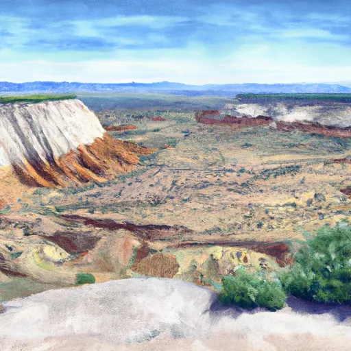 Durffey Mesa Dispersed - Burr Trail Rd - Grand Staircase Nat Mon
 Hole in the Rock - Grand Staircase Nat Mon
 Deer Creek- Burr Trail Rd - Grand Staircase Nat Mon
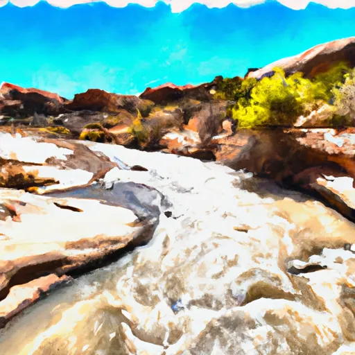 Escalante River
 Unnamed Tributary
 Calf Creek to Lake Powell
 Calf Creek