
Summary
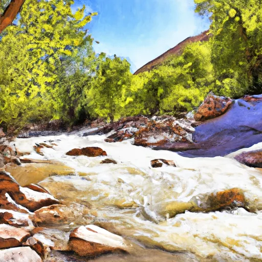
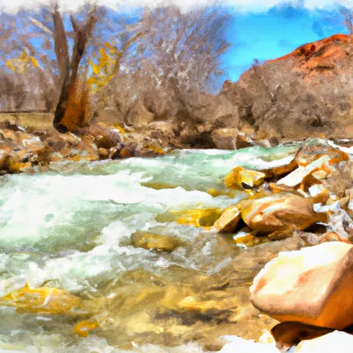
The ideal streamflow range for this run is between 800 and 2000 cfs. At these levels, the river is classed as a class IV-V rapid and requires advanced skill and experience to navigate.
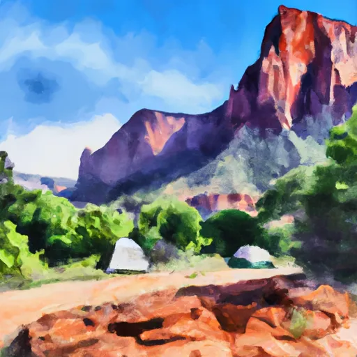
The segment mileage for Crystal Creek is approximately 8 miles, with a total drop of 1000 feet, making it one of the steepest and most challenging runs in the area. The river rapids and obstacles on Crystal Creek include steep drops, tight turns, and boulder gardens, all of which require precise maneuvering and expert skill to navigate successfully.
In terms of regulations, Crystal Creek is located within the Uinta-Wasatch-Cache National Forest and is subject to all federal regulations regarding water use and recreational activities. Additionally, boaters are required to obtain a permit before accessing the river, and all equipment must be inspected and approved for use on the river.
In conclusion, Crystal Creek on the Whitewater River in Utah is a challenging and exciting adventure for experienced whitewater enthusiasts. With its steep drops, tight turns, and boulder gardens, this course requires advanced skill and experience to navigate successfully. Boaters must also adhere to federal regulations and obtain the necessary permits and equipment inspections before accessing the river.
River Run Details
| Last Updated | 2025-06-28 |
| River Levels | 78 cfs (4.91 ft) |
| Percent of Normal | 46% |
| Status | |
| Class Level | iv-v |
| Elevation | ft |
| Streamflow Discharge | cfs |
| Gauge Height | ft |
| Reporting Streamgage | USGS 10242000 |

Weather Forecast
Nearby Streamflow Levels
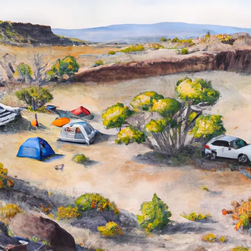
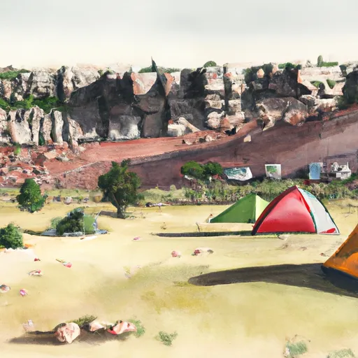
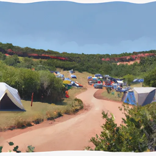
Area Campgrounds
| Location | Reservations | Toilets |
|---|---|---|
 Lava Point - Zion National Park
|
||
 Lava Point Campgound
|
||
 Lava Point Site 2
|
||
 Lava Point Site 1
|
||
 Lava Point Campground
|
||
 Ringtail
|
 Crystal Creek
 Deep Creek
 Deep Creek Wilderness
 Goose Creek Wilderness
 LaVerkin Creek Wilderness
 Wilderness Ashdown Gorge
 Cedar Breaks National Monument