Summary
The ideal streamflow range for this segment is between 1,000 and 2,000 cubic feet per second (cfs), which typically occurs in late May through early July.
This segment is rated as a Class III-IV, which means it is suitable for experienced paddlers who are comfortable with moderate to difficult rapids. The segment covers a total of 26 miles and takes approximately two to three days to complete.
Some of the notable rapids and obstacles on Segment 4A include the Swallow Canyon Rapid, the Government Rapid, and the King Fisher Rapid. The Swallow Canyon Rapid is a Class IV rapid that requires precise maneuvering and quick reflexes. The Government Rapid is a Class III rapid that features large waves and holes that can be challenging to navigate. The King Fisher Rapid is a Class III+ rapid that is known for its steep drops and powerful hydraulics.
To ensure the safety of paddlers and protect the natural environment, there are specific regulations in place for the Green River Segment 4A. All boats must be self-contained and all waste must be carried out. Additionally, camping is only allowed in designated areas and fires are not permitted.
In conclusion, the Green River Segment 4A in Utah is a challenging and rewarding whitewater river run. Paddlers should be experienced and comfortable with Class III-IV rapids, and should plan accordingly based on the ideal streamflow range of 1,000 to 2,000 cfs. It is important to follow all regulations and respect the natural environment of this beautiful region.
°F
°F
mph
Wind
%
Humidity
15-Day Weather Outlook
River Run Details
| Last Updated | 2025-06-28 |
| River Levels | 607 cfs (11.58 ft) |
| Percent of Normal | 1% |
| Status | |
| Class Level | iii-iv |
| Elevation | ft |
| Streamflow Discharge | cfs |
| Gauge Height | ft |
| Reporting Streamgage | USGS 09328910 |


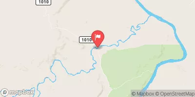
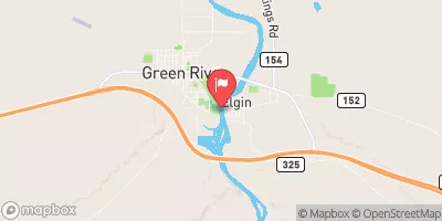
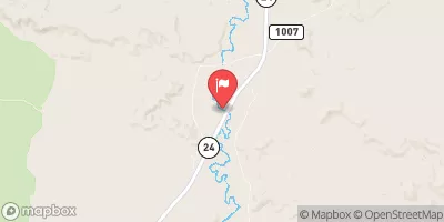
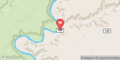
 Green River Segment 4A
 Green River
 San Rafael River