
Summary
The ideal streamflow range for the San Juan River is between 500 and 2,500 cubic feet per second (cfs). At lower flows, the river can be technical and rocky, while at higher flows, the rapids become more powerful and require skilled maneuvering.
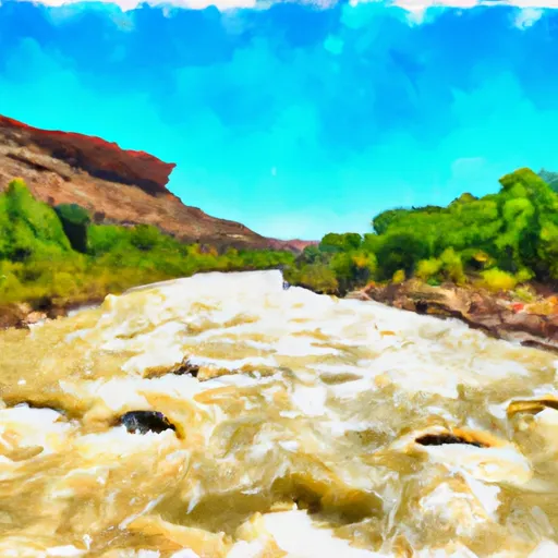
The San Juan River is rated as a Class II-III river, with occasional Class IV rapids during high water. The river flows for 83 miles, from Sand Island to Clay Hills Crossing. The upper section of the river is characterized by narrow, winding channels and steep canyon walls, while the lower section offers wider channels and more gentle rapids.
Some of the specific rapids and obstacles on the San Juan River include Government Rapid, House Rapid, and Eight Foot Rapid. These rapids can be challenging, especially at higher flows, and require careful navigation.
There are several regulations that apply to the San Juan River, including permits for river use, limits on group size, and restrictions on camping and fires. It is important for visitors to familiarize themselves with these regulations before embarking on a river trip.
Overall, the San Juan River offers a thrilling whitewater experience in a stunningly beautiful natural setting. However, visitors should exercise caution and respect for the river's power and regulations to ensure a safe and enjoyable trip.
River Run Details
| Last Updated | 2025-06-28 |
| River Levels | 7940 cfs (11.81 ft) |
| Percent of Normal | 36% |
| Status | |
| Class Level | ii-iii |
| Elevation | ft |
| Streamflow Discharge | cfs |
| Gauge Height | ft |
| Reporting Streamgage | USGS 09379500 |

 San Juan River