

Summary
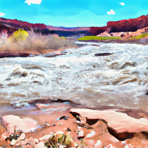
The ideal streamflow range for this river is between 500 and 2,000 cfs, which typically occurs during the months of May through June. The river is rated as a Class II-III, with some rapids reaching Class IV during high water levels.
The San Juan River is divided into three segments: the Upper, the Lower, and the Lower Lower. The Upper segment spans 26 miles and features several rapids, including Government Rapid and Eight Foot Rapid. The Lower segment spans 25 miles and is known for its numerous archaeological sites and scenic landscapes. The Lower Lower segment spans 27 miles and is the most challenging of the three, with rapids such as Slickhorn Chute and House Rapid.
Specific regulations to the area include permits being required for all river trips, as well as a limit on group size and a restriction on camping in certain areas. It is important for visitors to follow Leave No Trace principles and respect the cultural and natural resources of the area. The San Juan River provides an unforgettable experience for those seeking adventure and scenic beauty in Utah's stunning landscape.
Regional Streamflow Levels
15-Day Long Term Forecast
River Run Details
| Last Updated | 2025-06-28 |
| River Levels | 7940 cfs (11.81 ft) |
| Percent of Normal | 36% |
| Status | |
| Class Level | ii-iii |
| Elevation | ft |
| Streamflow Discharge | cfs |
| Gauge Height | ft |
| Reporting Streamgage | USGS 09379500 |

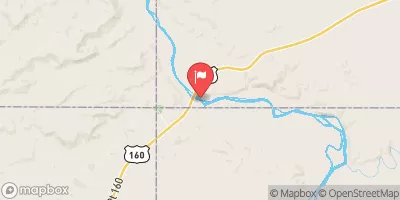
 San Juan River
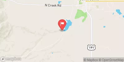