

Summary
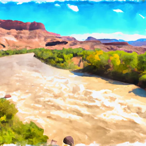
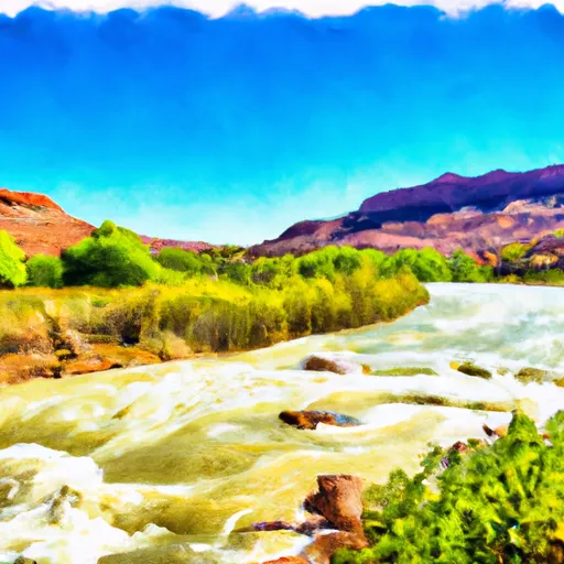
The ideal streamflow range for this river is between 8,000 and 25,000 cubic feet per second (cfs), although it can be run at higher or lower flows depending on skill level and experience. The class rating for this river varies from class I to class V, with some sections featuring continuous rapids and obstacles.
The segment mileage for the Whitewater River Run is approximately 14 miles, starting at the Westwater Ranger Station and ending at the Cisco take-out. Some of the notable rapids and obstacles on this run include Skull Rapid, Sock-It-To-Me Rapid, and Little-D. It is recommended that only experienced and skilled boaters attempt this run due to the technicality and difficulty of some of the rapids.
Specific regulations to the area include obtaining a permit from the Bureau of Land Management (BLM) in order to run this section of the river. Additionally, there are regulations on group size, equipment requirements, and camping restrictions. It is important for boaters to familiarize themselves with all regulations before embarking on the Whitewater River Run.
Regional Streamflow Levels
15-Day Long Term Forecast
River Run Details
| Last Updated | 2025-06-28 |
| River Levels | 24300 cfs (17.23 ft) |
| Percent of Normal | 41% |
| Status | |
| Class Level | v |
| Elevation | ft |
| Streamflow Discharge | cfs |
| Gauge Height | ft |
| Reporting Streamgage | USGS 09185600 |

5-Day Hourly Forecast Detail
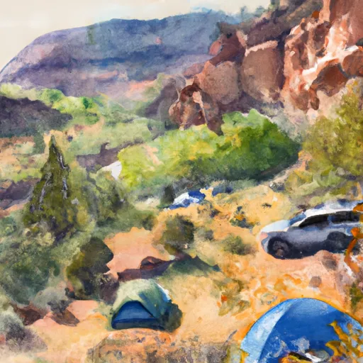
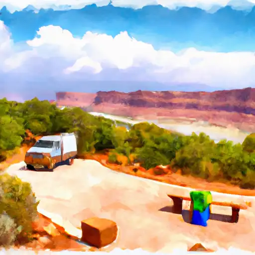
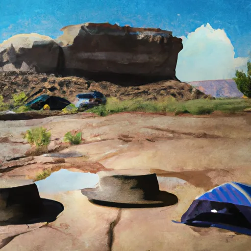
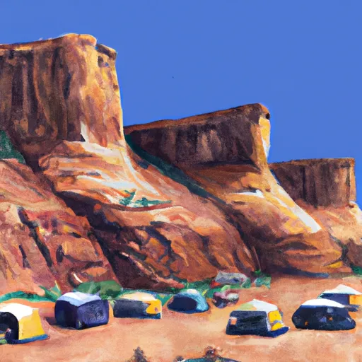
Area Campgrounds
| Location | Reservations | Toilets |
|---|---|---|
 Musselman Canyon
|
||
 Ledge E
|
||
 Dead Horse Point State Park
|
||
 Yurt
Yurt
|
||
 Ledge D
|
||
 Ledge Group
|
 Colorado River
 Colorado River Segment 5
 Swanny City Park
 Old City Park
 Sand Flats Recreation Area