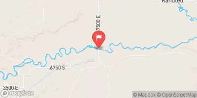
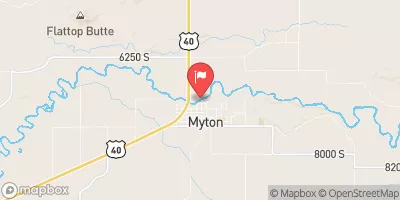
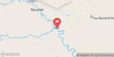
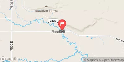
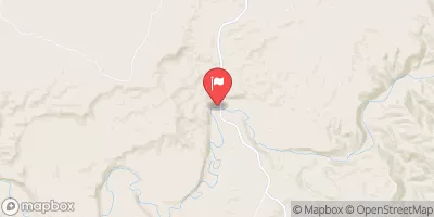
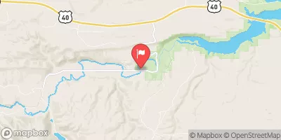
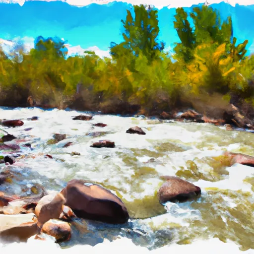
Desolation Canyon
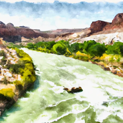
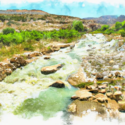
Desolation Canyon on the Green River is one of the best multi-day river trips in the Western US. No it doesn't have the biggest and baddest rapids but it does contain some of the best river campsites and beaches. Plus there are plenty of Class II to III rapids to keep everyone on the trip entertained.
Suggested river levels for paddling this section of the Green River are between a bare minimum of 1,000cfs and a high of 22,000cfs.
River conditions sourced from USGS 09315000, the Green River At Green River
Remember only watercraft are permitted
at Desolation Canyon.
Run Stats
Status | Runnable |
Class Level | II to III |
Elevation | 4,045 ft |
Run Length | 85.0 Mi |
Gradient | 5 FPM |
Streamflow Discharge | 2020 cfs |
Gage Height | 5.9 ft |
Air Temperature | 72° |
River | Green River |
Reporting Streamgage |
Green River At Green River
USGS 09315000 |
Steer Ridge
Class II to III |
Joe Hutch
Class II to III |
Coal Creek
Class II to III |
Wire Fence
Class II to III |
Three Fords
Class II to III |
Jack Creek Rapid
Class II to III- |
Rock House Rapid
Class II |
Little Rock House Riffle
Class II |
Big Canyon Rapid
Class II |
Firewater Rapid
Class II |
Cedar RIdge Rapid
Class II |
Flat Canyon Rapid
Class II |
Dripping Springs Rapid
Class II |
Fretwater Falls Rapid
Class II to III- |
WIld Horse Rapid
Class II |
Lower Wild Horse Rapid
Class II+ to III- |
Rapid
Class II to III- |
Steer Ridge Rapid
Class III- to III |
Surprise Rapid
Class II |
Log Cabin Rapid
Class II |
Rock Creek Rapid
Class II |
Calf Canyon Rapid
Class II |
Snap Canyon Rapid
Class II to III- |
Three Canyon Rapid
Class II |
Belknap Falls
Class III |
Chandler Falls Rapid
Class II+ to III |
Trail Canyon Rapid
Class II |
Bull Canyon Rapid
Class II |
Moonwater Rapid
Class II |
Red Point Rapid
Class II to III- |
Joe Hutch Creek Rapid
Class II+ to III- |
Florence Creek Rapid
Class II |
Range Creek Rapid
Class II+ |
Rabbit Valley Rapid
Class II |
Curry Rapid
Class II |
Saleratus Rapid
Class II |
Poverty Rapid
Class II |
Rattlesnake Rapid
Class II to II+ |
Gauge | Streamflow | Stage |
---|---|---|
Duchesne River At Myton
USGS 09295000 |
36 cfs | 2.6 ft |
Lake Fork River Bl Moon Lake Nr Mountain Home
USGS 09291000 |
5 cfs | 1.0 ft |
Green River At Green River
USGS 09315000 |
2,020 cfs | 5.9 ft |
Lake Fork River Ab Moon Lake
USGS 09289500 |
31 cfs | 2.0 ft |
Uinta River Blw Powerplant Diversion Nr Neola
USGS 09296800 |
39 cfs | 5.0 ft |
Yellowstone River Near Altonah
USGS 09292500 |
53 cfs | 0.6 ft |
Duchesne River Near Randlett
USGS 09302000 |
49 cfs | 4.9 ft |
Ashley Creek Near Vernal
USGS 09266500 |
18 cfs | 1.7 ft |
Ashley Cr Abv Sp Nr Vernal Ut
USGS 09265500 |
4 cfs | 3.9 ft |
Uinta River At Randlett
USGS 09301500 |
6 cfs | 3.6 ft |
Snotel Site | Snowpack | 24hr Change |
---|---|---|
Mosby Mtn.
SNOTEL 643 |
20" | -1" |
Five Points Lake
SNOTEL 481 |
33" | -2" |
King'S Cabin
SNOTEL 559 |
13" | -2" |
Lakefork #1
SNOTEL 566 |
21" | -1" |
Chepeta
SNOTEL 396 |
29" | -2" |
Hickerson Park
SNOTEL 522 |
25" | -1" |
Trout Creek
SNOTEL 833 |
16" | -2" |
Lasal Mountain-Lower
SNOTEL 1215 |
1" | -2" |
Hole-In-Rock
SNOTEL 528 |
24" | -1" |
Lakefork #3
SNOTEL 1116 |
2" | -2" |
Steel Creek Park
SNOTEL 790 |
40" | -1" |
East Willow Creek
SNOTEL 461 |
15" | -1" |
Ef Blacks Fork Gs
SNOTEL 1163 |
31" | -1" |
Campground | Campsites | Reservations | Toilets | Showers | Elevation |
---|
Ski Area | Snowpack | Air Temperature | 5 Day Forecast |
---|
River Run | Streamflow | Length | Class |
---|---|---|---|
Ouray to Sand Wash | 888.0cfs | 32.5 Mi | I |
Desolation Canyon | 2020.0cfs | 85.0 Mi | II to III |