Summary
The river has several obstacles, including tight turns, rocky rapids, and low bridges. The difficulty of the run varies depending on the water level, but it is generally considered a Class III-IV+ run. The best time to float this section of water is in the late spring or early summer when the water levels are high enough to avoid scraping against the rocks. The recommended flow for this section is between 600-1500 cfs. It is important to have experience and proper equipment for this river run.
°F
°F
mph
Wind
%
Humidity
15-Day Weather Outlook
River Run Details
| Last Updated | 2023-06-13 |
| River Levels | 648 cfs (8.2 ft) |
| Percent of Normal | 203% |
| Optimal Range | 900-5000 cfs |
| Status | Too Low |
| Class Level | III- to IV |
| Elevation | 4,171 ft |
| Run Length | 32.0 Mi |
| Gradient | 14 FPM |
| Streamflow Discharge | 107 cfs |
| Gauge Height | 7.1 ft |
| Reporting Streamgage | USGS 09180000 |
5-Day Hourly Forecast Detail
Nearby Streamflow Levels
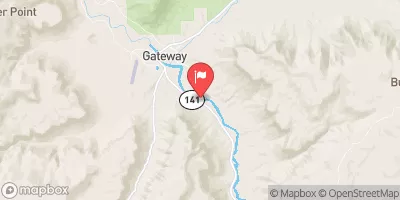 Dolores River Near Gateway
|
103cfs |
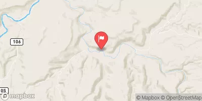 Dolores River Near Cisco
|
107cfs |
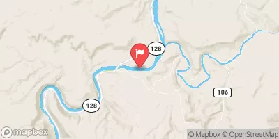 Colorado River Near Cisco
|
2100cfs |
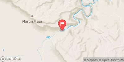 Dolores River Near Bedrock
|
29cfs |
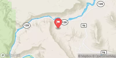 Castle Creek Below Castle Valley Near Moab
|
4cfs |
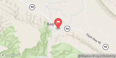 Dolores River At Bedrock
|
24cfs |
Area Campgrounds
| Location | Reservations | Toilets |
|---|---|---|
 Dolores River Camp 11
|
||
 Dolores River Camp 10
|
||
 Dolores River Camp 9
|


 Gateway to Dewey Bridge (Colorado River)
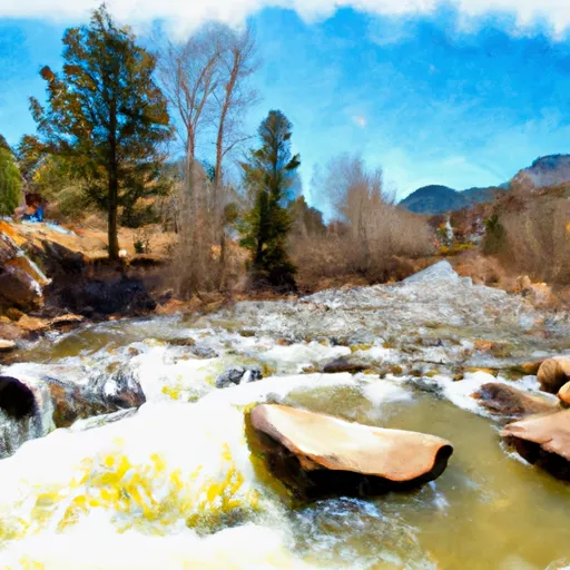 Beaver Creek
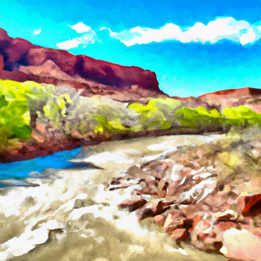 Fisher Creek, Dolores River Segment 1
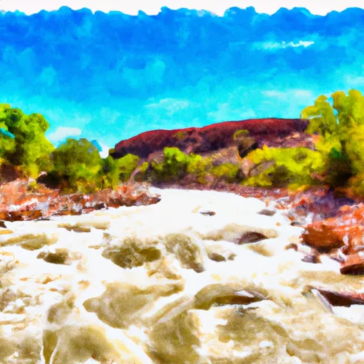 Dolores River Segment 1
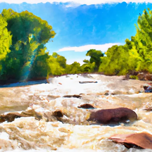 Fisher Creek