Summary
This stretch of water has some challenging rapids and obstacles including a few Class III and IV rapids. The best time to float this section is in the spring, when water levels are highest, with a recommended flow of at least 500 cfs. Paddlers should be prepared for cold water and should wear appropriate gear. Overall, this river run is recommended for experienced paddlers and offers a thrilling adventure through stunning canyon scenery.
°F
°F
mph
Wind
%
Humidity
15-Day Weather Outlook
River Run Details
| Last Updated | 2023-06-13 |
| River Levels | 505 cfs (5.74 ft) |
| Percent of Normal | 76% |
| Optimal Range | 500-1200 cfs |
| Status | Too Low |
| Class Level | II+ to III |
| Elevation | 4,939 ft |
| Run Length | 10.0 Mi |
| Gradient | 14 FPM |
| Streamflow Discharge | 0.1 cfs |
| Gauge Height | 3.9 ft |
| Reporting Streamgage | USGS 10219000 |
5-Day Hourly Forecast Detail
Nearby Streamflow Levels
 Sevier River Near Lynndyl
|
26cfs |
 Sevier River Near Juab
|
0cfs |
 Salt Creek At Nephi
|
4cfs |
 Currant Creek Near Mona
|
12cfs |
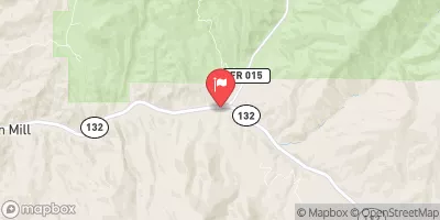 Salt Crk Blw Nephi Powerplant Div
|
3cfs |
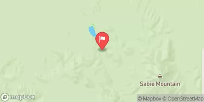 Vernon Creek Near Vernon
|
2cfs |
Area Campgrounds
| Location | Reservations | Toilets |
|---|---|---|
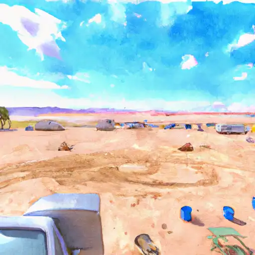 Oasis - Little Sahara Rec Area
|
||
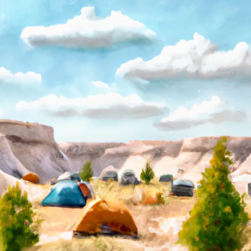 Sand Mountain Campground
|
||
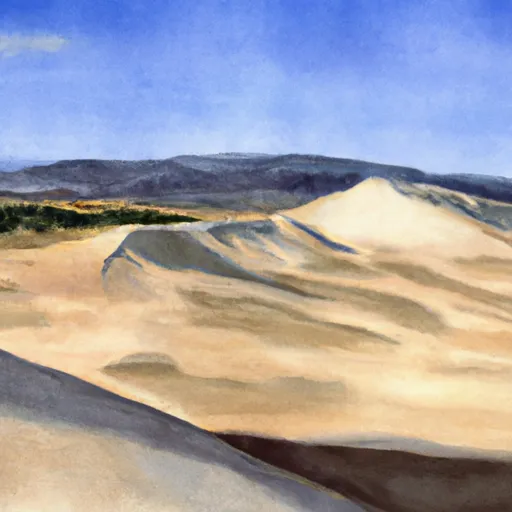 Sand Mountain - Little Sahara Rec Area
|


 Leamington Canyon (Hwy 132 to Leamington)