Morgan Waterfall
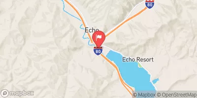
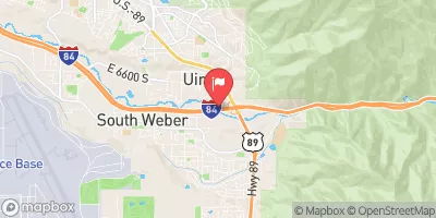
Smallish, but fun, waterfall directly around the corner from the take out for Round Valley, on the Weber River. Either park and huck or add this to the boring end of the Round Valley run. Height dependent on flows, but appears to average 6-10' drop. Left side is clean pour into hydraulic that is moderately retentive at lower flows and looks and feels nasty at higher flows. There is a sub-ledge that is boofable located just right of center. Look for large obvious notch in horizone line and shoot the middle of it. It will sometimes kick left, into the maw, so be careful. Also known as the Fairgronds Waterfall
Suggested river levels for paddling this section of the Weber River are between a bare minimum of 350cfs and a high of 1,100cfs.
River conditions sourced from USGS 10132000, the Weber River At Echo
Remember only watercraft are permitted
at Morgan Waterfall.
Run Stats
Status | Too Low |
Class Level | III+ |
Elevation | 5,444 ft |
Run Length | 0.1 Mi |
Gradient | 10 FPM |
Streamflow Discharge | 152 cfs |
Gage Height | 2.2 ft |
Air Temperature | 81° |
River | Weber River |
Reporting Streamgage |
Weber River At Echo
USGS 10132000 |
Morgan Waterfall
Class III+ |
Morgan Waterfall II
Class II+ to III+ |
Morgan Waterfall III
Class II to III |
Gauge | Streamflow | Stage |
---|---|---|
Weber River Near Wanship
USGS 10129500 |
205 cfs | 2.2 ft |
East Canyon Creek Ab East Cyn Res Nr Morgan
USGS 10133980 |
60 cfs | 4.3 ft |
Weber River Near Peoa
USGS 10129300 |
757 cfs | 4.6 ft |
Weber River At Gateway
USGS 10136500 |
380 cfs | 12.3 ft |
Weber River At Echo
USGS 10132000 |
152 cfs | 2.2 ft |
Provo River At River Road Bridge
USGS 10155200 |
148 cfs | 0.9 ft |
Big Creek Near Randolph
USGS 10023000 |
9 cfs | 4.7 ft |
Little Cottonwood Creek @ Jordan River Nr Slc
USGS 10168000 |
99 cfs | 1.5 ft |
Bear River Above Reservoir
USGS 10020100 |
546 cfs | 2.8 ft |
Weber River At Ogden
USGS 10137000 |
313 cfs | 4.4 ft |
Snotel Site | Snowpack | 24hr Change |
---|---|---|
alta - guard house
SNOTEL AGD |
40.55" | -3.55" |
alta
SNOTEL ATAU1 |
26" | -7" |
atwater study plot
SNOTEL ATH20_MADIS |
44" | -5" |
Campground | Campsites | Reservations | Toilets | Showers | Elevation |
---|---|---|---|---|---|
East Canyon State Park | 31 | 5,758 ft |
Ski Area | Snowpack | Air Temperature | 5 Day Forecast |
---|---|---|---|
Powder Mountain | -1" | 75° | 1.23" |
DC Shoes Mountain Lab | 24" | 66° | 1.97" |
Brighton Ski Resort | 40" | 63° | 2.25" |
Alta Ski Area | 66" | 68° | 1.65" |
Snowbird Ski and Summer Resort | 66" | 68° | 1.65" |
Canyons | 40" | 63° | 2.25" |
Solitude Mountain Resort | 24" | 66° | 1.97" |
Snowbasin | 0" | 77° | 0.89" |
Deer Valley Resort | 40" | 63° | 2.25" |
Sundance | 8" | 72° | 2.03" |
Park City Mountain Resort | 40" | 63° | 2.25" |
River Run | Streamflow | Length | Class |
---|---|---|---|
Henefer to Taggert | 0.77cfs | 7.0 Mi | II- to III |
Riverdale Wave | 0.77cfs | 0.18 Mi | III- |
Scrambled Eggs Bend | 308.0cfs | 4.0 Mi | IV |
Skeletor's Gorge | 11.7cfs | 1.4 Mi | IV+ |
Ogden Play Park | 324.0cfs | 0.06 Mi | III- |
Mouth of Weber Canyon to Riverdale | 0.77cfs | 10.0 Mi | III |
Bridal Veil (BV) | 1740.0cfs | 4.0 Mi | III to IV |
Park and Ride to Old Mill Catch Pond | 92.3cfs | 1.25 Mi | IV to V |
Morgan Waterfall | 0.77cfs | 0.1 Mi | III+ |
Lower Ogden | 153.0cfs | 2.5 Mi | III+ |
Middle Provo (Jordanelle to Deer Creek) | 239.0cfs | 25.0 Mi | II+ |
Ogden Narrows | 153.0cfs | 2.0 Mi | III+ to IV |
Round Valley | 0.77cfs | 5.5 Mi | II |
Rainbow Gardens | 153.0cfs | 3.0 Mi | III to IV- |