Summary
This section of the river is a Class II-III run with occasional Class IV rapids, making it suitable for intermediate to advanced paddlers. The best time to float this section is from April to June, when the water levels are high, with a recommended flow rate of 2,000-6,000 cfs. Obstacles on the river include several rapids, including Big Drop, Little Hole, and Hells Half Mile, and narrow canyons that require careful navigation. Overall, this river run offers stunning scenery, exciting rapids, and a challenging adventure for experienced paddlers.
°F
°F
mph
Wind
%
Humidity
15-Day Weather Outlook
River Run Details
| Last Updated | 2023-06-13 |
| River Levels | 888 cfs (8.29 ft) |
| Percent of Normal | 137% |
| Optimal Range | 1000-10000 cfs |
| Status | Too Low |
| Class Level | I |
| Elevation | 5,606 ft |
| Run Length | 32.5 Mi |
| Streamflow Discharge | 847 cfs |
| Gauge Height | 8.2 ft |
| Reporting Streamgage | USGS 09234500 |
5-Day Hourly Forecast Detail
Nearby Streamflow Levels
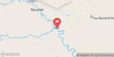 Duchesne River Near Randlett
|
52cfs |
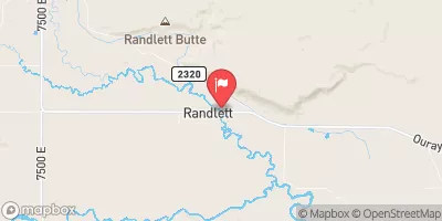 Uinta River At Randlett
|
12cfs |
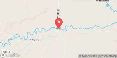 Duchesne R Ab Uinta R Near Randlett
|
42cfs |
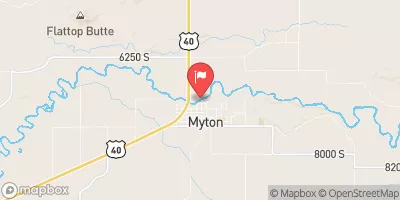 Duchesne River At Myton
|
43cfs |
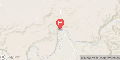 White River Near Watson
|
164cfs |
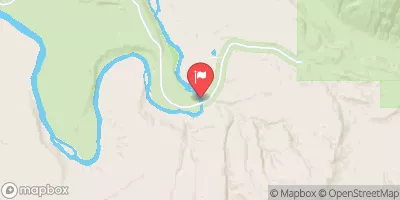 Green River Near Jensen
|
1390cfs |


 Ouray to Sand Wash
 Green River
 Pelican Lake
 Uinta River
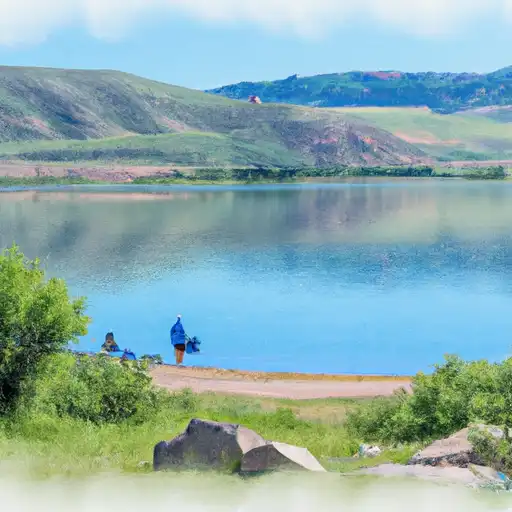 Brough Reservoir