2026-02-23T19:00:00-05:00
* WHAT...Snow expected. Total snow accumulations between 3 and 5 inches. Winds gusting as high as 35 mph. * WHERE...Rutland and Windsor Counties. * WHEN...From 1 AM to 7 PM EST Monday. * IMPACTS...Travel could be very difficult. Areas of blowing snow could significantly reduce visibility. The hazardous conditions could impact the Monday morning and evening commutes.
Summary
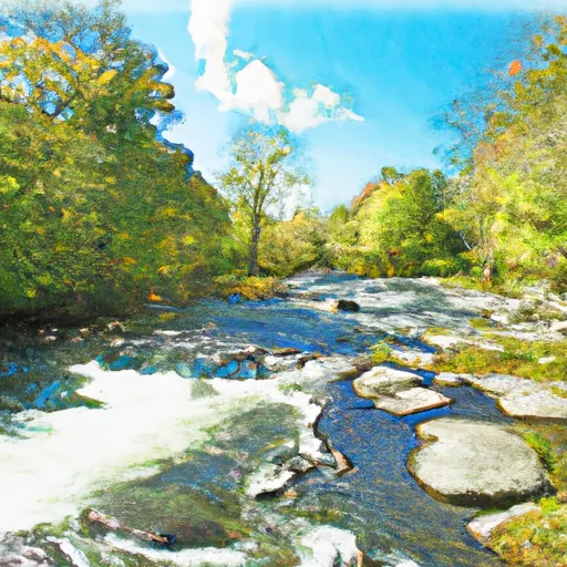
The Whitewater River run from above FR 55 to Proclamation Boundary (Stony Brook) in Vermont is a popular stretch of river among kayakers and whitewater enthusiasts. The ideal streamflow range for this segment of the river is between 500 and 1500 cubic feet per second (cfs).
The class rating for the Whitewater River run is Class III-IV, which means it is a challenging run with significant rapids and obstacles. Some of the notable rapids in this section of the river include "The Ledges," "Pinball," and "The Squeeze."
The segment mileage for the Whitewater River run is approximately 6.5 miles. The run begins at the bridge above FR 55 and ends at the Proclamation Boundary (Stony Brook).
There are specific regulations that apply to the Whitewater River run. For example, all boaters are required to wear personal flotation devices (PFDs), and all boats must be registered with the state of Vermont. Additionally, there are restrictions on the use of motorized boats in this section of the river.
°F
°F
mph
Wind
%
Humidity
15-Day Weather Outlook
River Run Details
| Last Updated | 2026-01-20 |
| River Levels | 14 cfs (2.71 ft) |
| Percent of Normal | 66% |
| Status | |
| Class Level | iii-iv |
| Elevation | ft |
| Streamflow Discharge | cfs |
| Gauge Height | ft |
| Reporting Streamgage | USGS 01150900 |
5-Day Hourly Forecast Detail
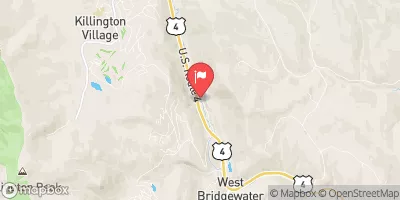
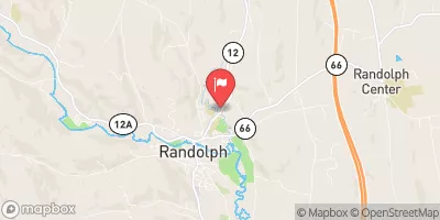
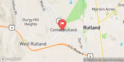
Nearby Streamflow Levels
Area Campgrounds
| Location | Reservations | Toilets |
|---|---|---|
 Chittenden Brook Campground
|
||
 Chittenden Brook
|
||
 Gifford Woods State Park
|
||
 Silver Lake State Park
|
||
 Bingo
Bingo
|


 Source Above Fr 55 To Proclamation Boundary (Stony Brook)
 Headwaters To Woodstock, Vt