Summary
The ideal streamflow range for this run is between 500 and 2000 cubic feet per second, which can be checked on the USGS website. The run is rated as a Class IV-V, with some challenging rapids and obstacles.
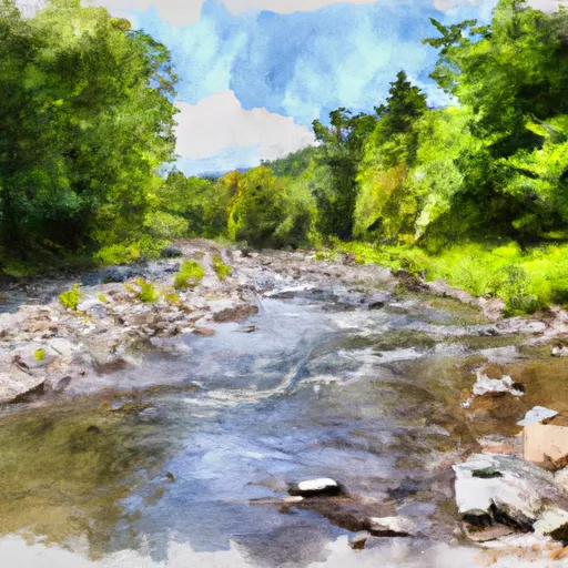
The segment of the river that runs from the headwaters to the North of Searsburg Reservoir is approximately 9 miles long. The river features numerous rapids and obstacles, including "The Ledges," a series of challenging drops and eddies, and "The Squeeze," a narrow chute with a sharp turn at the bottom. There are also several waterfalls along the route, including "The Big Falls" and "The Little Falls."
There are specific regulations in place for the Whitewater River Run. All individuals using the river for recreational purposes are required to wear personal flotation devices (PFDs) at all times. Additionally, there are designated put-in and take-out locations, and individuals are not allowed to launch or land their boats in undesignated areas.
Overall, the Whitewater River Run is a challenging and exciting destination for experienced whitewater enthusiasts. It is important to check streamflow levels and adhere to all regulations to ensure a safe and enjoyable experience.
°F
°F
mph
Wind
%
Humidity
15-Day Weather Outlook
River Run Details
| Last Updated | 2026-01-20 |
| River Levels | 68 cfs (1.57 ft) |
| Percent of Normal | 57% |
| Status | |
| Class Level | iv-v |
| Elevation | ft |
| Streamflow Discharge | cfs |
| Gauge Height | ft |
| Reporting Streamgage | USGS 01334000 |
5-Day Hourly Forecast Detail
Nearby Streamflow Levels
Area Campgrounds
| Location | Reservations | Toilets |
|---|---|---|
 Red Mill Brook
|
||
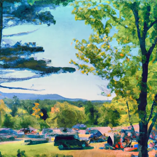 Woodford State Park
|
||
 Molly Stark State Park Campsites
|
||
 Molly Stark State Park
|
||
 Grout Pond Recreation Area
|
||
 Grout Pond
|


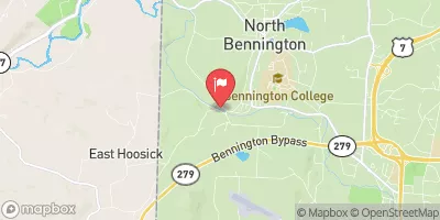
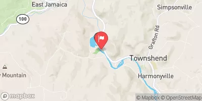
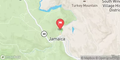
 Headwaters To North Of Searsburg Reservoir
 Headwaters To First Bridge
 Headwaters To Confluence With West River (End Of Sherman Road)
 Stamford Town Line To Confluence With City Stream
 First Bridge To Walloomsac Brook
 Woodford To Woodford Hollow
 Wilderness George D. Aiken
 Molly Stark State Park
 Wilderness Glastenbury
 Wilderness Lye Brook
 Green Mountain National Forest