2026-02-12T01:00:00-05:00
The bulk of the accumulating snow has ended. There will still be some light snow showers through the rest of the night, but any additional accumulations will be less than an inch.
Summary
The ideal streamflow range for this run is between 300 and 500 cubic feet per second (cfs), which typically occurs in the spring and early summer. The segment mileage is approximately 4.5 miles, with a class rating of III-IV.
This run features several challenging rapids and obstacles, including the "Juicer" and "S-Turn," which require expert boating skills and careful navigation. The river also has some narrow channels and tight turns that add to the technical difficulty of the run.
In terms of regulations, boaters are required to wear personal flotation devices (PFDs) at all times on the river. Additionally, the river is located within the Green Mountain National Forest, so visitors must follow certain guidelines to protect the natural environment, such as avoiding littering and respecting wildlife.
°F
°F
mph
Wind
%
Humidity
15-Day Weather Outlook
River Run Details
| Last Updated | 2026-01-20 |
| River Levels | 68 cfs (1.57 ft) |
| Percent of Normal | 57% |
| Status | |
| Class Level | None |
| Elevation | ft |
| Streamflow Discharge | cfs |
| Gauge Height | ft |
| Reporting Streamgage | USGS 01334000 |
5-Day Hourly Forecast Detail
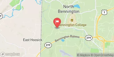
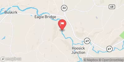
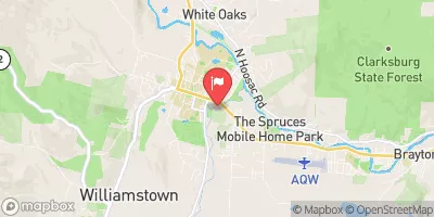
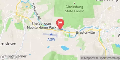
Nearby Streamflow Levels
Area Campgrounds
| Location | Reservations | Toilets |
|---|---|---|
 Woodford State Park
|
||
 Red Mill Brook
|
||
 Clarksburg State Park
|
||
 Sherman Brook Campsite
|


 South Stream Access Area Road Pownal
 Woodford To Woodford Hollow
 First Bridge To Walloomsac Brook
 Stamford Town Line To Confluence With City Stream
 Headwaters To First Bridge
 Headwaters To North Of Searsburg Reservoir
 Branch Pond To Proclamation Boundary
 Woodford State Park
 Wilderness George D. Aiken
 Bennington Battlefield State Historic Site
 Shaftsbury State Park
 Mountain Meadow Natural Area