2026-02-23T19:00:00-05:00
* WHAT...Heavy snow expected. Total snow accumulations between 5 and 12 inches with locally higher amounts into the Helderbergs and Schoharie County. Winds gusting between 30 and 40 mph will lead to areas of blowing snow. * WHERE...Schoharie County, the Helderbergs, portions of the Capital District and the Rensselaer Plateau in eastern New York and all of southern Vermont. * WHEN...From 7 PM this evening to 7 PM EST Monday. * IMPACTS...Travel could be difficult. Visibilities may drop below 1/4 mile due to falling and blowing snow. Areas of blowing snow could significantly reduce visibility. The hazardous conditions could impact the Monday morning and evening commutes. * ADDITIONAL DETAILS...A powerful nor'easter will impact the region late this afternoon through Monday. The higher snowfall amounts will be favored across the higher elevations. Snowfall rates may reach 1 inch per hour at times tonight into early Monday morning with up to 2 inches in the Helderbergs and Schoharie County.
Summary
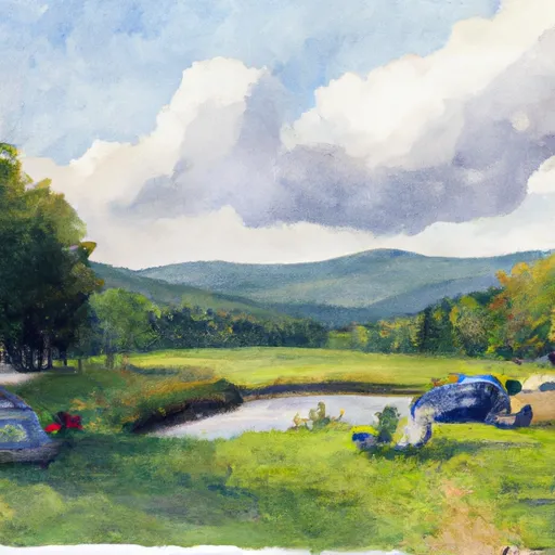
It is an exciting and challenging run, featuring a variety of rapids and obstacles, including tight drops, ledges, and boulder gardens. The ideal streamflow range for this run is between 500 and 2000 cfs, although beginners may find it more manageable at lower flows.
The specific rapids and obstacles on this run include the "Quarter Mile" section, a steep and technical drop that requires precise maneuvering, as well as the "Cave Drop" and "Staircase" sections, which feature ledges and boulder gardens. The "Chute," a narrow and rocky section, is another challenging feature of this run.
There are specific regulations in place for this area, including a requirement for all paddlers to wear a personal flotation device at all times while on the river. Additionally, paddlers should be aware that there are several private landowners along the river, and should be respectful of their property and avoid trespassing.
Overall, the Whitewater River Run from Branch Pond to Proclamation Boundary offers a thrilling and challenging whitewater experience for experienced paddlers. It is important to always check current streamflow conditions and to exercise caution when navigating the rapids and obstacles on this run.
°F
°F
mph
Wind
%
Humidity
15-Day Weather Outlook
River Run Details
| Last Updated | 2026-01-20 |
| River Levels | 68 cfs (1.57 ft) |
| Percent of Normal | 57% |
| Status | |
| Class Level | iii-iv |
| Elevation | ft |
| Streamflow Discharge | cfs |
| Gauge Height | ft |
| Reporting Streamgage | USGS 01334000 |
5-Day Hourly Forecast Detail
Nearby Streamflow Levels
Area Campgrounds
| Location | Reservations | Toilets |
|---|---|---|
 Camping on the Battenkill
|
||
 South Bourne Pond
|
||
 North Bourne Pond
|
||
 Grout Pond Recreation Area
|
||
 Grout Pond
|
||
 Stratton View Tenting Area
|


 Batten Kill Road Arlington
 Branch Pond To Proclamation Boundary
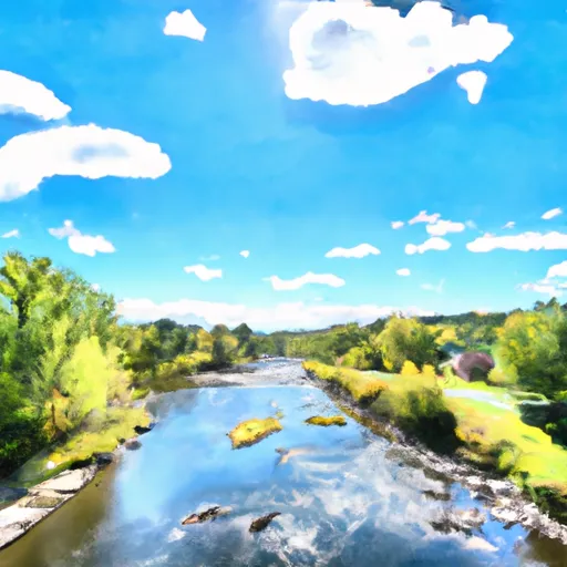 Ny/Vt State Line To Arlington, Vt
 Headwaters To Proclamation Boundary
 Headwaters To Wilderness Boundary
 Headwaters To First Bridge
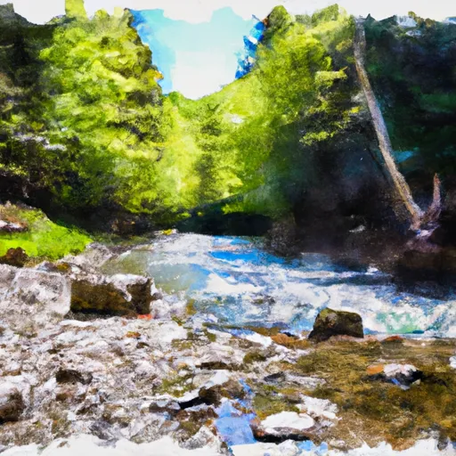 Lye Brook Wilderness Boundary To Confluence Of Batten Kill
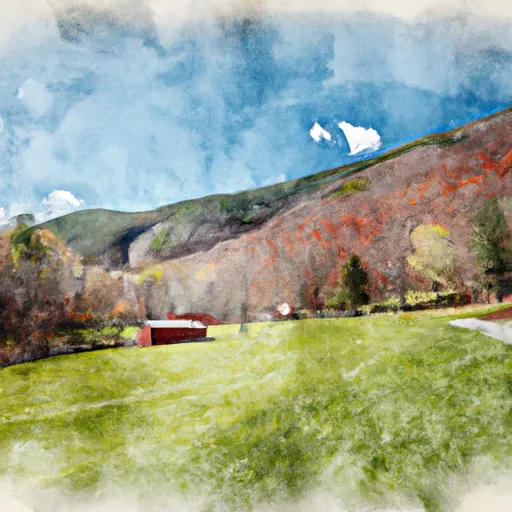 Shaftsbury State Park
 Dana L. Thompson Memorial Park
 Wilderness Glastenbury
 Woodford State Park