Summary
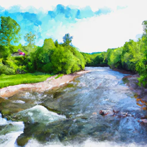
The ideal streamflow range for this run is between 300 and 800 cubic feet per second (cfs). This range provides enough water to navigate the rapids, while still allowing for safety and control. The class rating for this run is classified as a Class III-IV, which means it is considered to be a challenging whitewater run. The segment mileage for this run is approximately 6 miles long, with a variety of rapids and obstacles throughout. Some of the notable rapids include Upper and Lower Flume, which are both Class IV rapids, as well as Big Boulders and S-Turn, which are Class III rapids. It is important to note that there are specific regulations for this area, which include a permit requirement for groups of ten or more. Additionally, there are strict rules regarding camping and fires, and visitors are encouraged to practice Leave No Trace principles to help preserve the natural beauty of the area.
°F
°F
mph
Wind
%
Humidity
15-Day Weather Outlook
River Run Details
| Last Updated | 2026-02-02 |
| River Levels | 309 cfs (1.79 ft) |
| Percent of Normal | 62% |
| Status | |
| Class Level | iii-iv |
| Elevation | ft |
| Streamflow Discharge | cfs |
| Gauge Height | ft |
| Reporting Streamgage | USGS 04282500 |
5-Day Hourly Forecast Detail
Nearby Streamflow Levels
Area Campgrounds
| Location | Reservations | Toilets |
|---|---|---|
 Silver Lake Campground
|
||
 Branbury State Park
|
||
 Moosalamoo
|
||
 Moosalamoo Campground
|
||
 Lake Dunmore Kampersville
|
||
 Country Village Campground
|


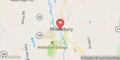
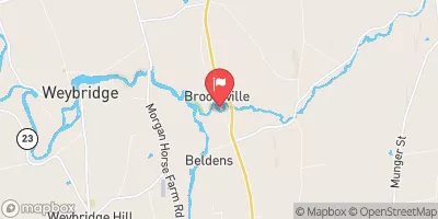
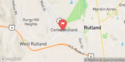
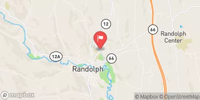
 Headwaters To End Of Fs Road 243
 End Of Fs Road 243 To Neshobe River
 Confluence With Alder Creek To Confluence With Middlebury River
 Proclamation Boundary To Proclamation Boundary