Summary
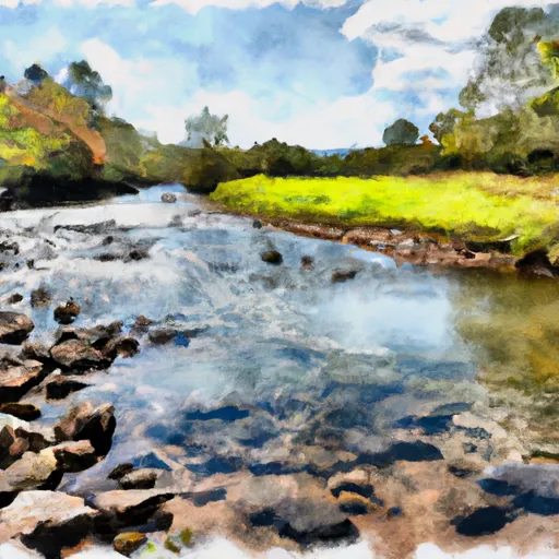
The ideal streamflow range for this run is between 500-1500 cfs, with the best conditions occurring after a significant rainfall. The class rating for this run ranges from Class II to Class IV, providing a moderate to challenging experience for paddlers. The segment mileage for this run is approximately 30 miles.
The river rapids and obstacles on this run include Big Falls, which is a Class IV rapid and must be scouted before running. Other notable rapids include Upper Y, Lower Y, and the Canoe Chute. The river is also known for its numerous boulder gardens and technical rapids.
It is important to note that the upper section of the river, from Headwaters to Stokesville, is regulated by the U.S. Forest Service, and permits are required for commercial outfitters. Additionally, there are specific regulations in place to protect the river and its surrounding ecosystem, including a ban on camping and fires in certain areas.
Overall, the Whitewater River Run from Headwaters to Farmville offers a challenging and exciting experience for paddlers, but it is important to plan accordingly and follow all regulations to ensure the safety of both the paddlers and the river.
°F
°F
mph
Wind
%
Humidity
15-Day Weather Outlook
River Run Details
| Last Updated | 2026-02-07 |
| River Levels | 1190 cfs (3.1 ft) |
| Percent of Normal | 13% |
| Status | |
| Class Level | ii-iv |
| Elevation | ft |
| Run Length | 47.0 Mi |
| Streamflow Discharge | cfs |
| Gauge Height | ft |
| Reporting Streamgage | USGS 02026000 |
5-Day Hourly Forecast Detail
Nearby Streamflow Levels
 James River At Bent Creek
|
7490cfs |
 Holiday Creek Near Andersonville
|
9cfs |
 Falling River Near Naruna
|
296cfs |
 Buffalo Creek Near Hampden Sydney
|
174cfs |
 Cub Creek At Phenix
|
425cfs |
 Tye River Near Lovingston
|
194cfs |


 Headwaters To Farmville
 James River State Park
 Upland Hardwood Natural Area
 Holiday Creek Natural Area
 Holliday Lake State Park
 Chestnut Ridge Natural Area