Summary
The ideal streamflow range for this segment is between 300 and 800 cubic feet per second (cfs). At lower flows, the river becomes too shallow and rocky, while at higher flows, the rapids become extremely dangerous.
The segment is rated as a Class III+ to IV whitewater run and covers a distance of approximately 8 miles from State Route 39 at Blowing Springs Campground to Lake Moomaw. The rapids and obstacles along the way include the “Big Falls,” “Gobbler’s Knob,” “Devil’s Tooth,” and “Piney Falls,” among others. These rapids require advanced paddling skills and are not recommended for beginners.
There are specific regulations in place for this area, including a requirement for all paddlers to wear a life jacket, and it is strongly advised to have a guide or experienced kayaker with you. Camping is permitted in designated areas, and a permit is required for overnight stays. Additionally, visitors should be aware that the area is surrounded by private property, and trespassing is strictly prohibited.
In conclusion, the Whitewater River Run Segment A is a challenging and exciting whitewater run in Virginia. With a Class III+ to IV rating, it is suitable for experienced paddlers who are comfortable with technical rapids and obstacles. The ideal streamflow range is between 300 and 800 cfs, and specific regulations are in place to ensure the safety of visitors and protection of the surrounding environment.
°F
°F
mph
Wind
%
Humidity
15-Day Weather Outlook
River Run Details
| Last Updated | 2026-01-27 |
| River Levels | 33 cfs (2.75 ft) |
| Percent of Normal | 15% |
| Status | |
| Class Level | iii+ |
| Elevation | ft |
| Streamflow Discharge | cfs |
| Gauge Height | ft |
| Reporting Streamgage | USGS 02011500 |
5-Day Hourly Forecast Detail
Nearby Streamflow Levels
 Back Creek Near Mountain Grove
|
51cfs |
 Jackson River Near Bacova
|
52cfs |
 Jackson River Bl Gathright Dam Nr Hot Spgs
|
191cfs |
 Back Creek At Sunrise
|
400cfs |
 Little Back Creek Near Sunrise
|
19cfs |
 Back Creek Near Sunrise
|
56cfs |
Area Campgrounds
| Location | Reservations | Toilets |
|---|---|---|
 Blowing Springs
|
||
 Blowing Springs Campground
|
||
 Hidden Valley Recreation Area
|
||
 Mcclintic Point
|
||
 Pocahontas Campground
|
||
 Pocahontas
|


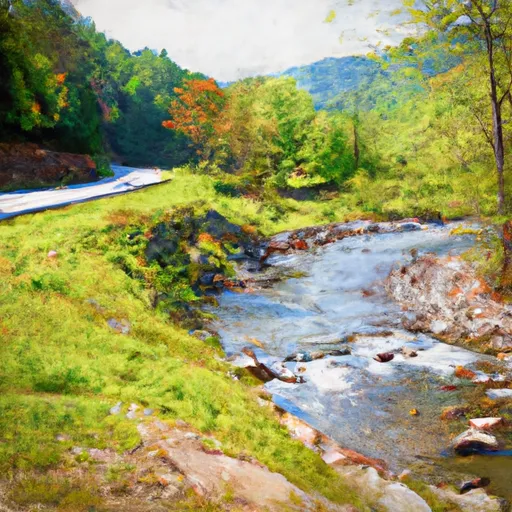 Segment A--State Route 39 At Blowing Springs Campground To Lake Moomaw
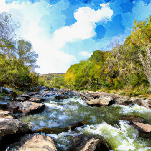 Segment C--Southern Boundary Hidden Valley Tract To Mcclintic Bridge
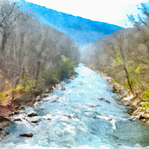 Segment B--Northern Boundary, Hidden Valley Tract To Southern Boundary Of Hidden Valley Tract
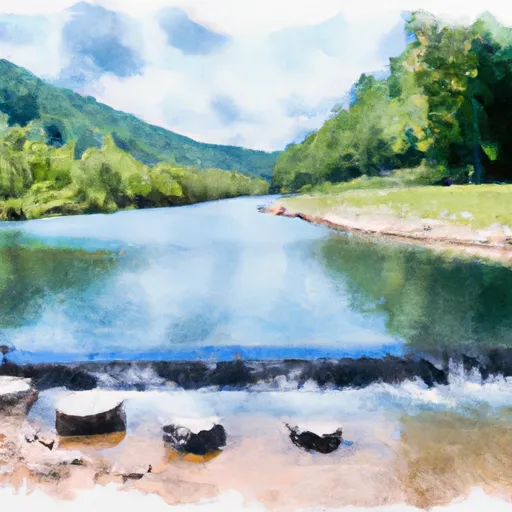 Segment B--Pump Storage Lake To Blowing Springs Campground