Summary
The segment from the Confluence of White Branch with Russell Fork to the Railroad Bridge Crossing above Elkhorn City spans a distance of 14 miles. The ideal streamflow range for this segment is between 500 and 1500 cfs. The segment is rated class III to IV, with some sections being more challenging than others. Some of the specific rapids and obstacles to look out for include Triple Drop, Fist of Fury, and El Horrendo.
It is important to note that this segment of the river is regulated by the Breaks Interstate Park, and visitors must obtain a permit to access the river. Additionally, visitors must follow all safety rules and regulations, including wearing a personal flotation device and helmet at all times while on the river.
Overall, the Whitewater River Run is a thrilling and challenging experience for experienced paddlers. It is important to check current streamflow levels and weather conditions before embarking on a trip and to follow all safety regulations to ensure a safe and enjoyable experience.
°F
°F
mph
Wind
%
Humidity
15-Day Weather Outlook
River Run Details
| Last Updated | 2023-02-02 |
| River Levels | 1060 cfs (7.76 ft) |
| Percent of Normal | 145% |
| Status | |
| Class Level | iii |
| Elevation | ft |
| Streamflow Discharge | cfs |
| Gauge Height | ft |
| Reporting Streamgage | USGS 03209200 |
5-Day Hourly Forecast Detail
Nearby Streamflow Levels
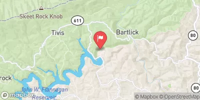
 Russell Fork At Bartlick
|
1060cfs |
 Pound River Below Flannagan Dam Near Haysi
|
26cfs |
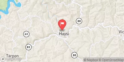
 Russell Fork At Haysi
|
467cfs |
 Levisa Fork At Big Rock
|
755cfs |
 Grapevine Creek Near Phyllis
|
12cfs |
 Cranes Nest River Near Clintwood
|
132cfs |


 Breaks InterState Park
 Lower Twin Branch - John W. Flannagan Reservoir
 Mullins Pond Campsite
 Pound River - John W. Flannagan Reservoir
 Grapevine - Fishtrap Lake
 Cranesnest - John W. Flannagan Reservoir
 Confluence Of White Branch With Russell Fork (And 1 Mile Upstream On Pound River) To Railroad Bridge Crossing Above Elkhorn City