Nf Boundary Along The South Fork Tye River Near Fdt 526 And State Highway 56 To Town Of Nash Paddle Report
Last Updated: 2026-02-07
The whitewater river run Nf Boundary along the South Fork Tye River near FDT 526 and State Highway 56 to the town of Nash in the state of Virginia is a thrilling experience for experienced kayakers and rafters.
Summary
The ideal streamflow range on this segment of the river is between 600-800 cfs. The class rating is subject to change based on seasonal and weather conditions but typically ranges from Class III to Class V depending on the segment. The segment mileage is approximately 7.5 miles, offering a challenging and scenic adventure.
The specific river rapids and obstacles include Big Falls and The S-Turn, both Class IV rapids, and many other Class III rapids throughout the run. The rapids are challenging and require technical skills, making it unsuitable for beginners. The river run is open year-round, but water levels and weather conditions are a crucial factor to consider before attempting the run.
Specific regulations to the area include obtaining a permit from the George Washington National Forest Service before entering the river. Boaters are also required to wear a personal flotation device and have a whistle with them. Camping is allowed in designated campsites along the riverbanks, but visitors must follow Leave No Trace practices and pack out all trash and waste.
In conclusion, the whitewater river run Nf Boundary along the South Fork Tye River near FDT 526 and State Highway 56 to the town of Nash provides an exhilarating experience for experienced kayakers and rafters. Visitors must follow specific regulations and check water levels and weather conditions before attempting the run. With its challenging rapids and scenic views, it is a must-visit destination for whitewater enthusiasts.
°F
°F
mph
Wind
%
Humidity
15-Day Weather Outlook
River Run Details
| Last Updated | 2026-02-07 |
| River Levels | 25 cfs (2.31 ft) |
| Percent of Normal | 20% |
| Status | |
| Class Level | iii-v |
| Elevation | ft |
| Streamflow Discharge | cfs |
| Gauge Height | ft |
| Reporting Streamgage | USGS 02027500 |
5-Day Hourly Forecast Detail
Nearby Streamflow Levels
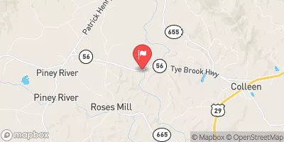 Tye River Near Lovingston
|
194cfs |
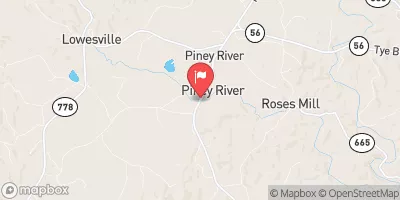 Piney River At Piney River
|
128cfs |
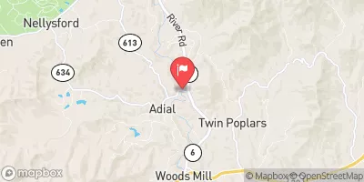 Rockfish River Near Greenfield
|
220cfs |
 South River Near Waynesboro
|
156cfs |
 Pedlar River At Forest Road Near Buena Vista
|
55cfs |
 South River Near Dooms
|
230cfs |


 Nf Boundary Along The South Fork Tye River Near Fdt 526 And State Highway 56 To Town Of Nash
 Headwaters South Of Flint Mountain To St. Mary'S Wilderness Boundary
 Lesesne State Forest
 Wilderness Priest
 Wilderness Saint Mary's
 Mount Joy Pond State Natural Area Preserve
 Crawfords Knob State Natural Area Preserve