Summary
This Class III-IV+ run is approximately 14 miles long and is known for its challenging rapids and scenic beauty.
The ideal streamflow range for this run is between 500-1,500 cfs, with higher flows creating more challenging rapids and lower flows creating more technical sections. Some of the most notable rapids on this run include the Entrance Exam, the Meatgrinder, and the Souse Hole. These rapids offer exciting challenges for experienced kayakers and rafters.
It is important to note that this run is only recommended for experienced whitewater paddlers, as the rapids can be dangerous and require advanced skills. Additionally, there are specific regulations in place for this area, including a permit requirement for commercial outfitters, a ban on alcohol consumption, and a requirement for personal flotation devices for all paddlers.
Overall, the Whitewater River Run is a challenging and exhilarating whitewater experience that should only be attempted by experienced paddlers. With its challenging rapids, beautiful scenery, and specific regulations in place, this run is a must for those looking for an adrenaline-fueled adventure in Virginia.
°F
°F
mph
Wind
%
Humidity
15-Day Weather Outlook
River Run Details
| Last Updated | 2022-11-07 |
| River Levels | 20 cfs (1.93 ft) |
| Percent of Normal | 18% |
| Status | |
| Class Level | iii-iv+ |
| Elevation | ft |
| Streamflow Discharge | cfs |
| Gauge Height | ft |
| Reporting Streamgage | USGS 03524500 |
5-Day Hourly Forecast Detail
Nearby Streamflow Levels
 Guest River At Coeburn
|
20cfs |
 Powell River At Big Stone Gap
|
240cfs |
 N F Holston River Near Gate City
|
3370cfs |
 Cranes Nest River Near Clintwood
|
132cfs |
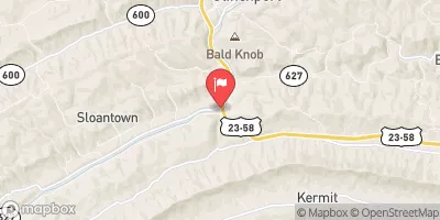 Clinch River At Speers Ferry
|
3830cfs |
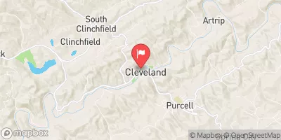 Clinch River At Cleveland
|
2150cfs |
Area Campgrounds
| Location | Reservations | Toilets |
|---|---|---|
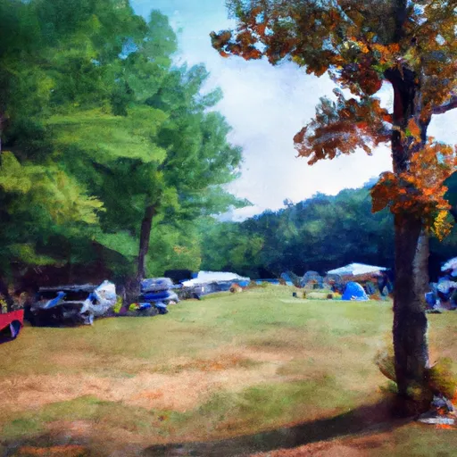 Bark Camp Recreation Area Campground
|
||
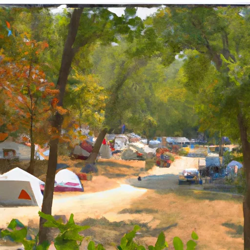 Bark Camp
|
||
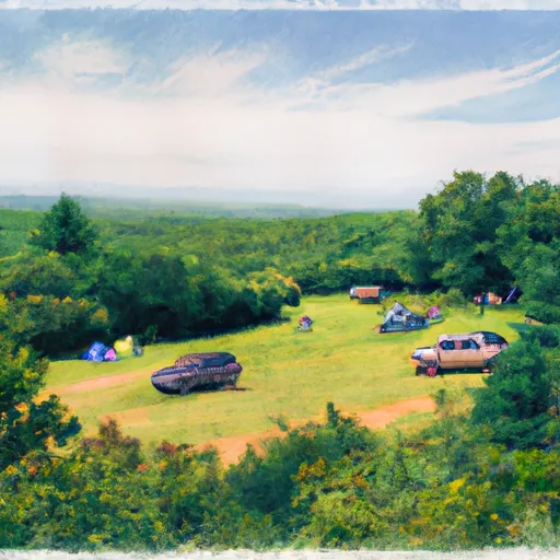 High Knob Recreation Area
|
||
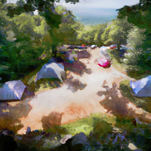 High Knob
|
||
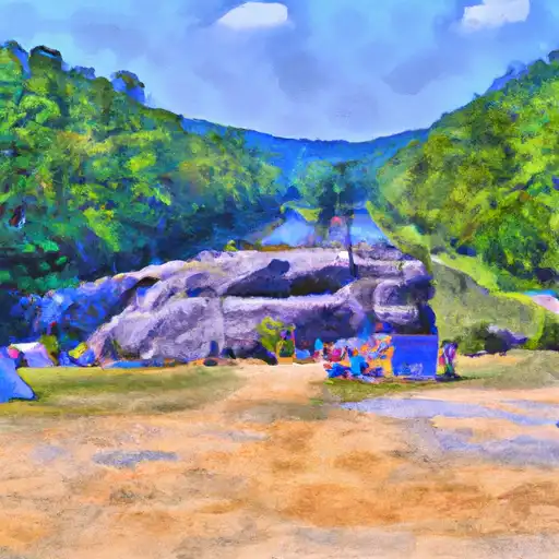 Flag Rock Recreation Area
|


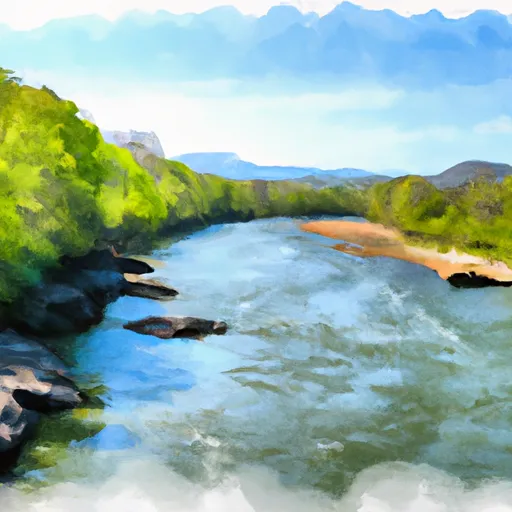 Fs Route 700 To Confluence With Clinch River
 State Route 72 Bridge To Confluence With Clinch River
 Confluence With Guest River To Confluence With Little Stony Creek