Summary
Regional Streamflow Levels
15-Day Long Term Forecast
River Run Details
| Last Updated | 2026-05-03 |
| River Levels | 1480 cfs (4.46 ft) |
| Percent of Normal | 138% |
| Status | |
| Class Level | None |
| Elevation | ft |
| Run Length | 15.0 Mi |
| Streamflow Discharge | cfs |
| Gauge Height | ft |
| Reporting Streamgage | USGS 12205000 |
5-Day Hourly Forecast Detail
Area Campgrounds
| Location | Reservations | Toilets |
|---|---|---|
 Boundary Camp
|
||
 Silesia
|
||
 Egg Lake
|
||
 US Cabin
|
||
 Copper Lake
|
||
 Graybeal
|

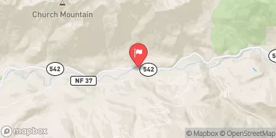
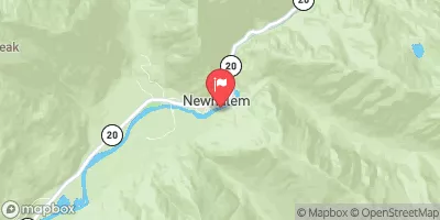
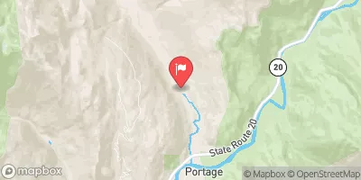
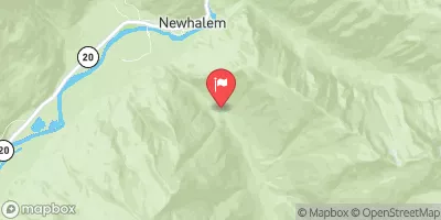
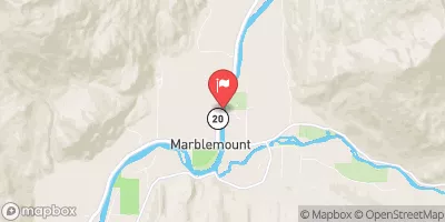

 National Forest Development Road 1150 Whatcom County
 Headwaters To U.S./Canadian Border
 Headwaters To North Cascades National Park Boundary
 Mt. Baker-Snoqualmie Nf/North Cascades Np To Mt. Baker Wilderness Boundary
 Mt. Baker-Snoqualmie Nf/North Cascades Np Boundary To Confluence With Blum Creek
 Blum Creek To Baker Lake
 Continue with Snoflo Premium