Begins 1/4 Mile South Of Box Canyon To Southern Boundary Of Mount Rainier National Park Paddle Report
Last Updated: 2026-02-11
Get the latest Paddle Report, Streamflow Levels, and Weather Forecast for Begins 1/4 Mile South Of Box Canyon To Southern Boundary Of Mount Rainier National Park in Washington. Washington Streamflow Levels and Weather Forecast
Summary
°F
°F
mph
Wind
%
Humidity
15-Day Weather Outlook
River Run Details
| Last Updated | 2026-02-11 |
| River Levels | 2230 cfs (2.36 ft) |
| Percent of Normal | 107% |
| Status | |
| Class Level | None |
| Elevation | ft |
| Run Length | 3.0 Mi |
| Streamflow Discharge | cfs |
| Gauge Height | ft |
| Reporting Streamgage | USGS 14226500 |
5-Day Hourly Forecast Detail
Nearby Streamflow Levels
 Cowlitz River At Packwood
|
1540cfs |
 Nisqually River Near National
|
553cfs |
 Puyallup River Near Electron
|
270cfs |
 Cowlitz River At Randle
|
2700cfs |
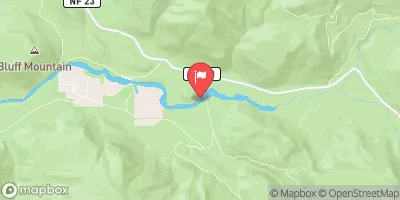 Cispus River Ab Yellowjacket Creek Near Randle
|
1060cfs |
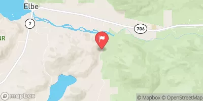 Mineral Creek Near Mineral
|
342cfs |
Area Campgrounds
| Location | Reservations | Toilets |
|---|---|---|
 Maple Creek Camp
|
||
 Olallie Creek Camp
|
||
 Snow Lake Camp
|
||
 Ohanapecosh - Mount Rainier National Park
|
||
 Ohanapecosh
|
||
 Indian Bar Camp
|
River Runs
-
 Begins 1/4 Mile South Of Box Canyon To Southern Boundary Of Mount Rainier National Park
-
 Begins 1/4 Mile North Of Box Canyon To Ends 1/4 Mile South Of Box Canyon
-
 Confluence With Chinook Creek To Southern Boundary Of Mount Rainier National Park
-
 Headwaters At The Terminus Of The Ingraham Glacier To Ends 1/4 Mile North Of Box Canyon
-
 Headwaters On The Southeast Flank Of Mount Rainier At An Elevation Of 5500 Ft To Confluence With Chinook Creek
-
 Mt. Ranier Np/Gifford Pinchot Nf Boundary To Confluence With Clear Fork Cowlitz River

