Summary
It is possible that the information may be outdated or incorrect.
However, I can provide general information about boat ramps in Washington. Boat ramps vary in size and width, typically ranging from 10 feet to 60 feet wide, and may accommodate different types of watercraft. The body of water that a boat ramp services can also vary, from small lakes and ponds to large rivers and bays.
In Washington, the Washington State Parks and Recreation Commission manages many boat ramps throughout the state, including those located in state parks. These ramps typically accommodate a variety of watercraft, including motorized boats, canoes, kayaks, and paddleboards. It is important to note that regulations and restrictions may vary depending on the specific location and body of water.
To obtain more accurate information about a specific boat ramp or location, I recommend checking with the managing agency or conducting further research with up-to-date resources.
°F
°F
mph
Wind
%
Humidity
15-Day Weather Outlook
Nearby Boat Launches
5-Day Hourly Forecast Detail
Area Streamflow Levels
River Runs
-
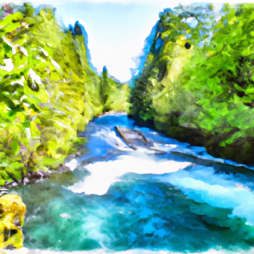 Straight Creek To Confluence With Lewis River
-
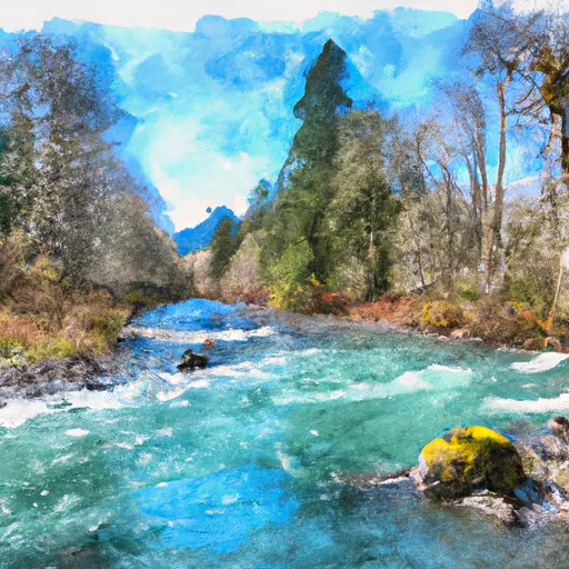 Headwaters In Sw 1/4 Of Sec 18, T9N, R9E To Confluence With Straight Creek
-
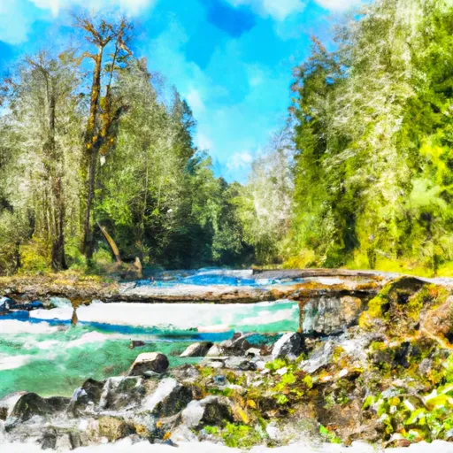 Trail 80 Crossing In Nw1/4 Of Sec 28, T9N, R5E To Middle Of Sec 19 T8N, R7E
-
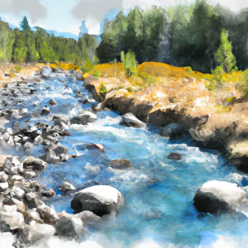 Headwaters In Ne1/4 Of Sec 35, T9N, R10E To Mt. Adams Wilderness Boundary
-
 Middle Of Sec 19, T8N, R7E To Confluence With Muddy River In Se1/4 Of Sec 1, T7N, R6E
-
 Mt. Adams Wilderness Boundary To Gifford Pinchot Nf Boundary

 Boating Site: Mosquito Lakes