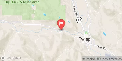
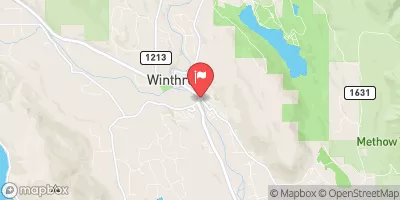
Headwaters And Includes All Tributaries Including North Fork Rainbow Creek, Bowan Creek, And Bench Creek To Ends 1/4 Mile Upstream Of The Confluence With The Stehekin River Paddle Report
Last Updated: 2026-02-16
Get the latest Paddle Report, Streamflow Levels, and Weather Forecast for Headwaters And Includes All Tributaries Including North Fork Rainbow Creek, Bowan Creek, And Bench Creek To Ends 1/4 Mile Upstream Of The Confluence With The Stehekin River in Washington. Washington Streamflow Levels and Weather Forecast
Summary
°F
°F
mph
Wind
%
Humidity
15-Day Weather Outlook
River Run Details
| Last Updated | 2026-02-16 |
| River Levels | 3790 cfs (21.56 ft) |
| Percent of Normal | 84% |
| Status | |
| Class Level | None |
| Elevation | ft |
| Run Length | 26.0 Mi |
| Streamflow Discharge | cfs |
| Gauge Height | ft |
| Reporting Streamgage | USGS 12451000 |
5-Day Hourly Forecast Detail
Nearby Streamflow Levels
Area Campgrounds
| Location | Reservations | Toilets |
|---|---|---|
 Rainbow Bridge Camp
|
||
 Rainbow Bridge
|
||
 Harlequin
|
||
 Harlequin Campground
|
||
 Hooter Camp
|
||
 Weaver Point
|
River Runs
-
 Headwaters And Includes All Tributaries Including North Fork Rainbow Creek, Bowan Creek, And Bench Creek To Ends 1/4 Mile Upstream Of The Confluence With The Stehekin River
-
 Begins 1/4 Mile Upstream From Confluence With Stehekin River To Confluence With Stehekin River
-
 Begins 1/4 Mile Upstream Of 12 Unnamed Tributaries Between High Bridge Campground And Lake Chelan From Confluence With Stehekin River To Confluence With Stehekin River


