Summary
The ideal streamflow range for this run is between 500-1500 cubic feet per second (cfs). This river has a Class III-V rating, meaning it is suitable for intermediate to advanced paddlers with experience in whitewater rafting and kayaking.
The segment mileage of the Whitewater River Run is approximately 5 miles and features several challenging rapids and obstacles. Some notable rapids include the "Entrance Exam," which is a Class IV rapid, and "Typhoon," which is a Class V rapid. Other rapids on this run include "The Narrow," "The Twister," and "The Pinball."
Due to the remote nature of this run, regulations are in place to protect the area and ensure the safety of all participants. A permit is required to access the river, and all participants must follow Leave No Trace principles. Additionally, the use of drones is prohibited in the area to prevent disturbances to wildlife and other visitors.
Overall, the Whitewater River Run offers an exciting and challenging whitewater experience for experienced paddlers. It is important to check current streamflow conditions and obtain all necessary permits and equipment before embarking on this run.
°F
°F
mph
Wind
%
Humidity
15-Day Weather Outlook
River Run Details
| Last Updated | 2026-02-16 |
| River Levels | 553 cfs (3.94 ft) |
| Percent of Normal | 74% |
| Status | |
| Class Level | iii-v |
| Elevation | ft |
| Run Length | 5.0 Mi |
| Streamflow Discharge | cfs |
| Gauge Height | ft |
| Reporting Streamgage | USGS 12056500 |
5-Day Hourly Forecast Detail
Nearby Streamflow Levels
Area Campgrounds
| Location | Reservations | Toilets |
|---|---|---|
 Nine Stream Camp
|
||
 Two Bear Camp
|
||
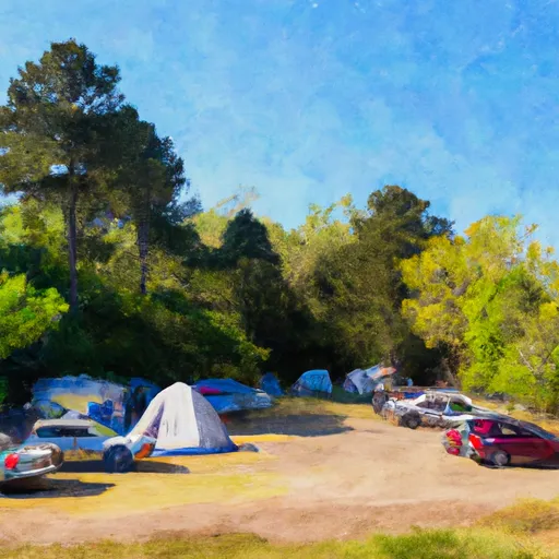 Camp Pleasant
|
||
 Marmot Lake Camp
|
||
 Big Log Camp
|
||
 Home Sweet Home Camp
|


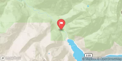
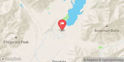
 Headwaters- Includes All Tributaries To Confluence With North Fork Skokomish River
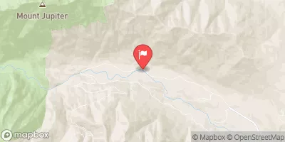
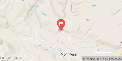
 Headwaters And Includes All Tributaries To Confluence With Quinault River
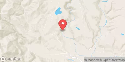
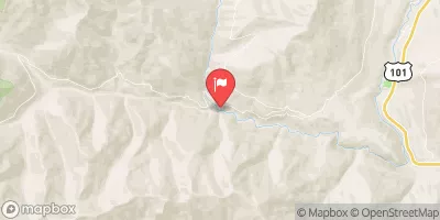
 Headwaters To Eastern Boundary Of Olympic National Park