Summary
The ideal streamflow range for the run is between 500-1500 cfs, with the peak season being in the springtime. The river is rated as Class III-IV, with challenging rapids and obstacles that require technical skills and experience.
The segment mileage of the Whitewater River Run spans from the headwaters, including all tributaries, to the confluence with the North Fork Skokomish River, totaling approximately 10 miles. Along the way, paddlers encounter exciting rapids such as the Class IV Hammer Factor and the Class III+ Elevator Shaft.
Specific regulations are in place for the Whitewater River Run. The area is managed by Olympic National Forest and requires a Northwest Forest Pass for parking. Additionally, the Forest Service has designated specific campsites for overnight stays along the river. Paddlers are also required to wear proper safety gear, including a helmet and personal flotation device.
In summary, the Whitewater River Run in Washington offers an exhilarating experience for experienced kayakers and rafters. With a challenging Class III-IV rating, exciting rapids such as the Hammer Factor and Elevator Shaft, and specific regulations in place, this river run is a must-visit destination for those seeking adventure on the water.
°F
°F
mph
Wind
%
Humidity
15-Day Weather Outlook
River Run Details
| Last Updated | 2026-02-20 |
| River Levels | 553 cfs (3.94 ft) |
| Percent of Normal | 65% |
| Status | |
| Class Level | iii-iv |
| Elevation | ft |
| Run Length | 4.0 Mi |
| Streamflow Discharge | cfs |
| Gauge Height | ft |
| Reporting Streamgage | USGS 12056500 |
5-Day Hourly Forecast Detail
Nearby Streamflow Levels
Area Campgrounds
| Location | Reservations | Toilets |
|---|---|---|
 Flapjack Lakes Camp
|
||
 Big Log Camp
|
||
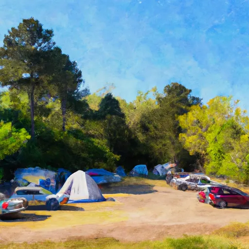 Camp Pleasant
|
||
 Spike Camp
|
||
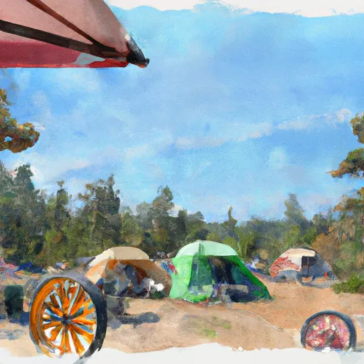 Wagonwheel Camp
|
||
 Staircase
|
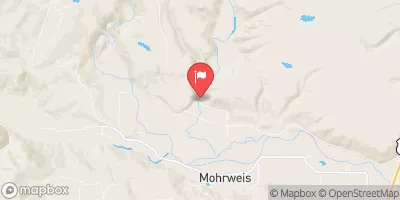
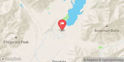
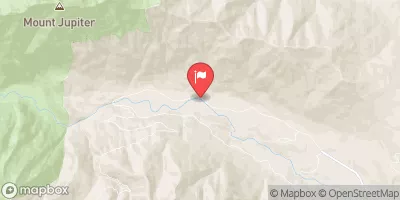
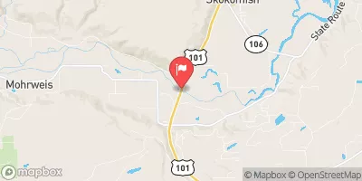
River Runs
-
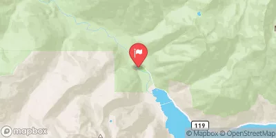
 Headwaters- Includes All Tributaries And Excludes Flapjack Lakes To Confluence With North Fork Skokomish River
-
 Headwaters- Includes All Tributaries To Confluence With North Fork Skokomish River
-
 Headwaters- Includes All Tributaries To Confluence With North Fork Skokomish River
-
 Headwaters- Includes All Tributaries Within Park To Olympic National Park Boundary


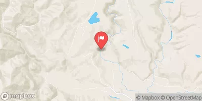
 Wilderness Mount Skokomish
 Lake Cushman State Park
 Hoodsport Park Trail