2026-02-23T13:00:00-08:00
* WHAT...Snow expected. Total snow accumulations 8 to 12 inches. * WHERE...Cascades of Pierce and Lewis Counties and Cascades of Southern King County. * WHEN...Until 1 PM PST Monday. * IMPACTS...Travel could be very difficult to impossible. The hazardous conditions could impact the Monday morning commute. * ADDITIONAL DETAILS...Snow levels will range between 3000 to 4000 feet.
Summary
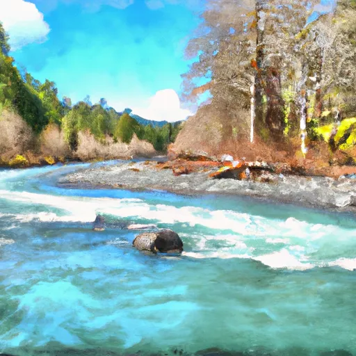
The ideal streamflow range for this run is between 800-1500 cfs. The Whitewater River is rated as Class III-IV and covers a distance of approximately 11 miles.
One of the most challenging rapids on the Whitewater River Run is known as "The Notch," which is a Class IV rapid with a narrow chute and a sharp drop. Other rapids on this run include "Pinball" and "The Elevator."
It is important to note that portions of the Whitewater River Run are only accessible during certain times of the year, as the area is within Mount Rainier National Park and is subject to seasonal closures and regulations. It is also important to follow all park regulations, including the use of proper equipment and safety gear.
In conclusion, the Whitewater River Run in Washington offers a challenging and exciting rafting experience for experienced paddlers, with Class III-IV rapids and a distance of approximately 11 miles. The ideal streamflow range is between 800-1500 cfs, and specific obstacles include "The Notch," "Pinball," and "The Elevator." Paddlers should be aware of seasonal closures and park regulations when planning their trip.
°F
°F
mph
Wind
%
Humidity
15-Day Weather Outlook
River Run Details
| Last Updated | 2025-12-08 |
| River Levels | 1210 cfs (47.97 ft) |
| Percent of Normal | 180% |
| Status | |
| Class Level | iii-iv |
| Elevation | ft |
| Run Length | 4.0 Mi |
| Streamflow Discharge | cfs |
| Gauge Height | ft |
| Reporting Streamgage | USGS 12097850 |
5-Day Hourly Forecast Detail
Nearby Streamflow Levels
Area Campgrounds
River Runs
-
 Confluence With Ipsut Creek To Western Boundary Of Mount Rainier National Park
-
 Headwaters On The Nw Slope Of Mount Rainier At Carbon Glacier To Confluence With Ipsut Creek
-
 Headwaters In The Mystic Lake Basin On The North Side Of Mount Rainier To Northern Boundary Of Mount Rainier National Park
-
 Huckleberry Creek To Confluence With Clearwater River




 Ipsut Creek - Mount Rainier National Park
 Ipsut Creek Campground
 Cataract Valley Camp
 Mowich Lake - Mount Rainier National Park
 Yellowstone Cliffs Camp
 Mowich Lake Walk-in Campground