Summary
The ideal streamflow range for this river is between 500 and 1,500 cfs. The class rating for this river is Class III-IV, which means that it is suitable for intermediate to advanced kayakers and rafters.
The segment mileage for the Whitewater River Run is around 15 miles, which provides ample opportunities for challenging rapids and obstacles. Some of the key rapids and obstacles on this river include the Boulder Drop, the S-Turn, and the Slot. These rapids require considerable skill and experience to navigate safely.
In terms of regulations, the Whitewater River Run is managed by Olympic National Park and permits are required for all river users. Additionally, all participants are required to wear personal flotation devices (PFDs) and helmets while on the river.
Overall, the Whitewater River Run is a challenging and exciting river run that requires significant skill and experience to navigate safely. With its challenging rapids, beautiful scenery, and unique regulations, it is a must-visit destination for serious whitewater enthusiasts.
°F
°F
mph
Wind
%
Humidity
15-Day Weather Outlook
River Run Details
| Last Updated | 2026-02-16 |
| River Levels | 553 cfs (3.94 ft) |
| Percent of Normal | 74% |
| Status | |
| Class Level | iii-iv |
| Elevation | ft |
| Run Length | 10.0 Mi |
| Streamflow Discharge | cfs |
| Gauge Height | ft |
| Reporting Streamgage | USGS 12056500 |
5-Day Hourly Forecast Detail
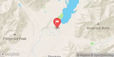
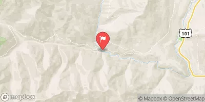
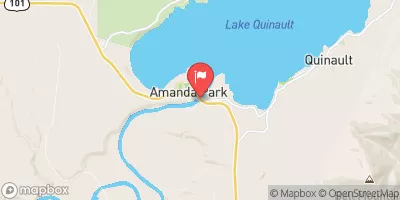
Nearby Streamflow Levels
Area Campgrounds
| Location | Reservations | Toilets |
|---|---|---|
 Pyrites Creek Camp
|
||
 Enchanted Valley
|
||
 O'Neil Creek Camp
|
||
 Marmot Lake Camp
|
||
 Pony Bridge Camp
|
||
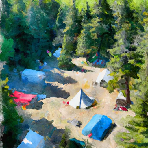 Camp Siberia (shelter)
|


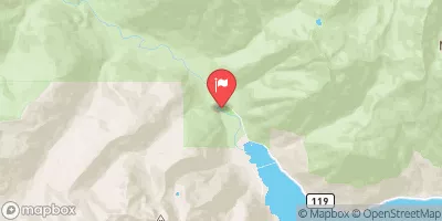
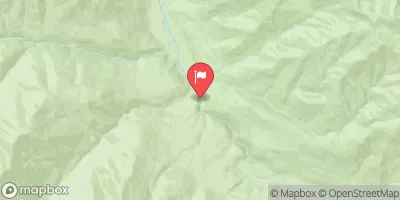
 Headwaters And Includes All Tributaries To Confluence With Elwha River
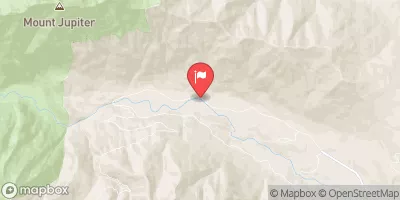
 Headwaters And Includes All Tributaries To Confluence With Quinault River