Summary
The ideal streamflow range for this run is between 700 and 1,200 cfs. The river has a class rating of III to IV, meaning it is moderately difficult with rapids that require technical skills and maneuvering. The segment mileage is approximately 12 miles, with a descent of over 1,000 feet.
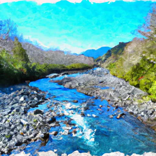
Specific river rapids and obstacles to watch out for include Devil's Punchbowl, a Class IV rapid with a steep drop, and a boulder garden that requires precise navigation. The Cutthroat Creek waterfall is a scenic highlight and can be portaged if necessary. There are also several other Class III rapids that provide exciting challenges.
To ensure safety, specific regulations are in place for the area. All participants must wear appropriate safety gear, including helmets and personal flotation devices. The Olympic National Park also requires a permit for all river trips, which can be obtained through the park's website. It is recommended that participants have prior experience in whitewater kayaking or rafting and are familiar with the specific challenges of this run. It is also important to check the current streamflow levels and weather conditions before embarking on the journey.
°F
°F
mph
Wind
%
Humidity
15-Day Weather Outlook
River Run Details
| Last Updated | 2026-02-10 |
| River Levels | 553 cfs (3.94 ft) |
| Percent of Normal | 84% |
| Status | |
| Class Level | iv-iii |
| Elevation | ft |
| Run Length | 14.0 Mi |
| Streamflow Discharge | cfs |
| Gauge Height | ft |
| Reporting Streamgage | USGS 12056500 |
5-Day Hourly Forecast Detail
Nearby Streamflow Levels
Area Campgrounds
| Location | Reservations | Toilets |
|---|---|---|
 Marmot Lake Camp
|
||
 Nine Stream Camp
|
||
 Two Bear Camp
|
||
 Upper Duckabush Camp
|
||
 Enchanted Valley
|
||
 Home Sweet Home Camp
|


 Headwaters To Eastern Boundary Of Olympic National Park
 Headwaters And Includes All Tributaries To Confluence With Quinault River
 Headwaters- Includes All Tributaries To Confluence With North Fork Skokomish River