Summary
The ideal streamflow range for this river is between 800 and 2,500 cubic feet per second (cfs), which typically occurs during the spring and early summer months. The run is classified as Class III-IV, meaning it is a technical and challenging run with moderate to high waves and rapids.
The segment of the river that is commonly run by whitewater kayakers and rafters is approximately 10 miles long, running from the headwaters at Station Creek to the confluence with the Dosewallips River. The run includes several notable rapids and obstacles, including "The Notch," "The Chute," and "The Slot."
There are specific regulations that apply to the Whitewater River Run, including a requirement for all boaters to have a valid Washington State Boater Education Card. Additionally, there is a prohibition on the use of motorized watercraft on the river.
°F
°F
mph
Wind
%
Humidity
15-Day Weather Outlook
River Run Details
| Last Updated | 2026-02-16 |
| River Levels | 623 cfs (1.97 ft) |
| Percent of Normal | 82% |
| Status | |
| Class Level | iii-iv |
| Elevation | ft |
| Run Length | 16.0 Mi |
| Streamflow Discharge | cfs |
| Gauge Height | ft |
| Reporting Streamgage | USGS 12054000 |
5-Day Hourly Forecast Detail
Nearby Streamflow Levels
Area Campgrounds
| Location | Reservations | Toilets |
|---|---|---|
 Dosewallips
|
||
 Dosewallips Campground
|
||
 Dose Forks
|
||
 Five Mile Camp
|
||
 Two Mile Camp
|
||
 Big Timber
|


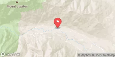
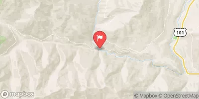
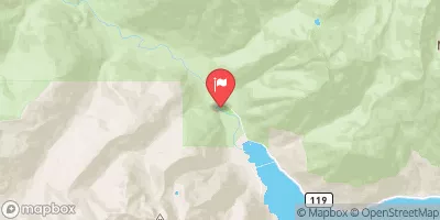
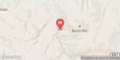

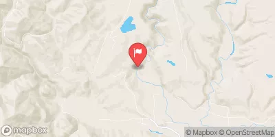
 Headwaters- Includes All Tributaries (Upstream From Station Creek) To Confluence With Dosewallips River
 Headwaters- Includes All Tributaries To Confluence With Dosewallips River
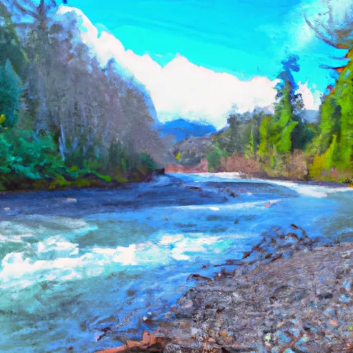 Confluence With Station Creek To Eastern Boundary Of Olympic National Park