

Summary
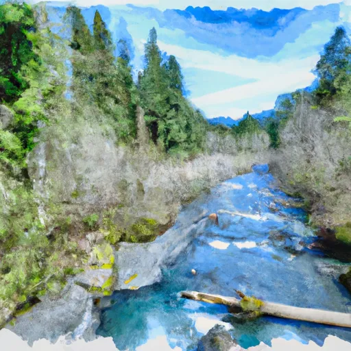
The ideal streamflow range is between 1000-5000 cfs, with the best conditions occurring in spring and early summer. The river is rated as class III-IV, with some class V rapids in certain sections. The total segment mileage is 18 miles, starting at the headwaters and including all tributaries to the confluence with the Sol Duc River.
The river features several challenging rapids, including "The Maze," a steep and technical section with tight channels and numerous obstacles. "The Narrows" is another challenging rapid with steep drops and powerful currents. Other rapids include "The Fingers," "The Slot," and "The Squeeze."
Regulations in the area include a permit system for commercial rafting companies, and a minimum age requirement of 12 years old for participants. It is also recommended that all participants wear a helmet and proper safety gear, and have previous experience in whitewater rafting or kayaking. The area is also subject to seasonal closures and restrictions due to weather conditions.
Overall, the Whitewater River Run offers an exciting and challenging adventure for experienced whitewater enthusiasts. Safety precautions should be taken seriously, and regulations should be followed to ensure a safe and enjoyable experience for all.
Regional Streamflow Levels
15-Day Long Term Forecast
River Run Details
| Last Updated | |
| River Levels | 725 cfs (539.27 ft) |
| Percent of Normal | +100% |
| Optimal Range | 1000-5000 cfs |
| Status | Too Low |
| Class Level | iii-iv |
| Elevation | ft |
| Run Length | 1.0 Mi |
| Streamflow Discharge | cfs |
| Gauge Height | ft |
| Reporting Streamgage | USGS 12044900 |

5-Day Hourly Forecast Detail
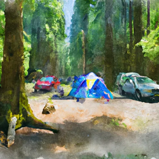
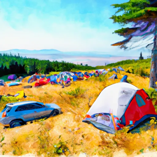
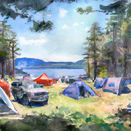
Area Campgrounds
| Location | Reservations | Toilets |
|---|---|---|
 Upper Sol Duc
|
||
 Sol Duc Park Campground
|
||
 Appleton Pass
|
||
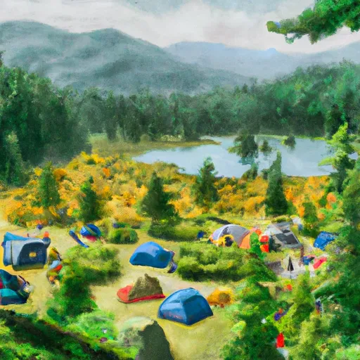 Heart Lake Camp
|
||
 Clear Lake Tent Site
|
||
 Lunch Lake Camp
|
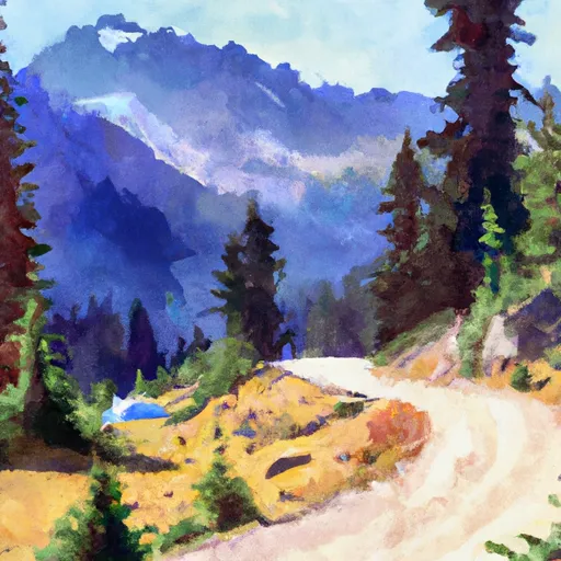
 Headwaters And Includes All Tributaries To Confluence With Sol Duc River
 Headwaters And Includes All Tributaries To Confluence With Boulder Creek
 Headwaters And Includes All Tributaries Within The Park To Confluence With Sol Duc River