Summary
The ideal streamflow range for this run is between 800-1200 cfs, which provides enough water flow for exciting rapids while still maintaining safety. The river is rated as Class III-IV, making it suitable for intermediate to advanced paddlers. The total segment mileage for the Whitewater River run is approximately 9 miles.
The river is known for its challenging rapids, including the Class IV Drop Shot and the Class III+ Whitewater Falls. Paddlers should also be aware of the numerous boulder gardens and logjams that can pose hazards on this run. It is important to scout these obstacles before attempting to run them.
There are specific regulations in place for the Whitewater River run, including a mandatory permit system. Paddlers must obtain a permit from the Quinault Indian Nation before accessing the river. Additionally, there are restrictions on group size and camping along the river. It is important to follow these regulations in order to preserve the natural beauty and safety of the river.
Overall, the Whitewater River run offers a challenging and rewarding paddling experience for those who are up for the adventure. However, it is important to respect the river and follow regulations in order to ensure a safe and enjoyable trip.
°F
°F
mph
Wind
%
Humidity
15-Day Weather Outlook
River Run Details
| Last Updated | 2026-02-16 |
| River Levels | 553 cfs (3.94 ft) |
| Percent of Normal | 74% |
| Status | |
| Class Level | iii-iv |
| Elevation | ft |
| Run Length | 1.0 Mi |
| Streamflow Discharge | cfs |
| Gauge Height | ft |
| Reporting Streamgage | USGS 12056500 |
5-Day Hourly Forecast Detail
Nearby Streamflow Levels
Area Campgrounds
| Location | Reservations | Toilets |
|---|---|---|
 Upper Duckabush Camp
|
||
 Camp Siberia (shelter)
|
||
 LaCrosse Pass Campsite
|
||
 Marmot Lake Camp
|
||
 Enchanted Valley
|
||
 Honeymoon Meadows Camp
|
River Runs
-
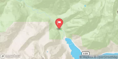
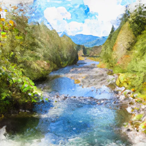 Headwaters And Includes All Tributaries To Confluence With Quinault River
-
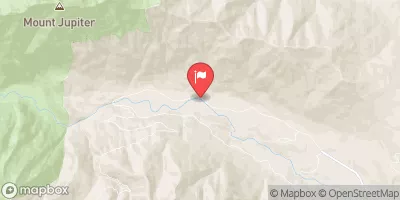
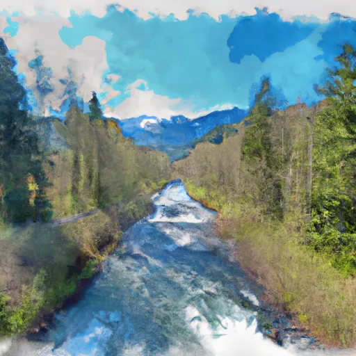 Headwaters- Includes All Tributaries To Confluence With Dosewallips River
-
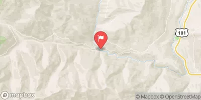
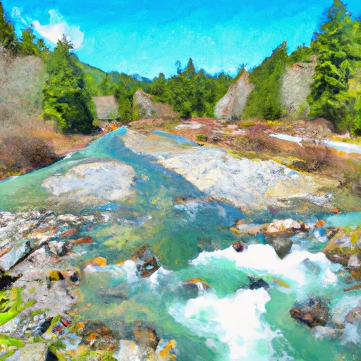 Headwaters To End Of Graves Creek Road And Confluence With Graves Creek
-
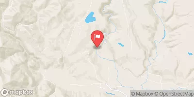
 Headwaters- Includes All Tributaries To Confluence With West Fork Dosewallips River
-
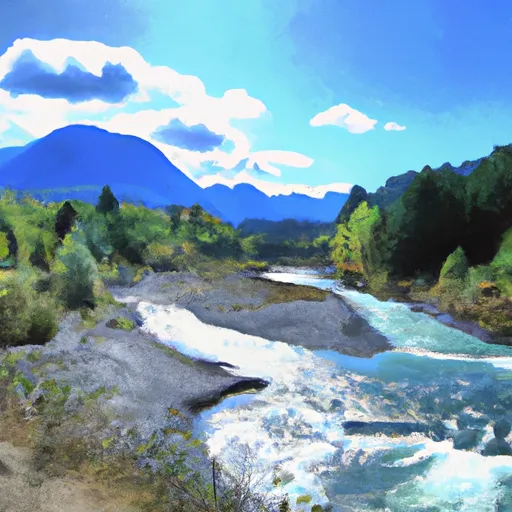 Headwaters And Includes All Tributaries To Confluence With Elwha River


 Buckhorn Wilderness
 Wilderness Mount Skokomish
 Wilderness Wonder Mountain