Summary
The ideal streamflow range for this river is between 1,000 and 3,000 cubic feet per second (cfs), with higher flows typically occurring during the spring and early summer months.
The river is rated as a Class III-IV, with some sections approaching Class V in difficulty. The run covers a total of 28 miles from the headwaters to the confluence with South Fork Agnes Creek. There are various rapids and obstacles along the way, including Devil's Eyebrow, S-Turn, and Pinball.
In terms of regulations, the Whitewater River is located within the Okanogan-Wenatchee National Forest and is subject to federal rules and regulations. Visitors are encouraged to check with the forest service for any current restrictions or closures. Additionally, all boaters are required to wear personal flotation devices (PFDs) and should be familiar with proper safety protocols for whitewater rafting.
Overall, the Whitewater River provides a challenging and exciting adventure for experienced whitewater enthusiasts. However, it is important to always prioritize safety and follow all regulations and guidelines to ensure a successful and enjoyable trip.
°F
°F
mph
Wind
%
Humidity
15-Day Weather Outlook
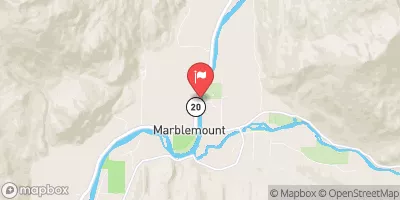
River Run Details
| Last Updated | 2026-02-07 |
| River Levels | 3790 cfs (21.56 ft) |
| Percent of Normal | 106% |
| Status | |
| Class Level | iii-iv |
| Elevation | ft |
| Run Length | 9.0 Mi |
| Streamflow Discharge | cfs |
| Gauge Height | ft |
| Reporting Streamgage | USGS 12451000 |
5-Day Hourly Forecast Detail
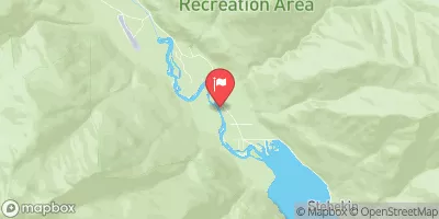
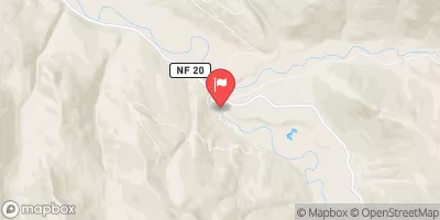
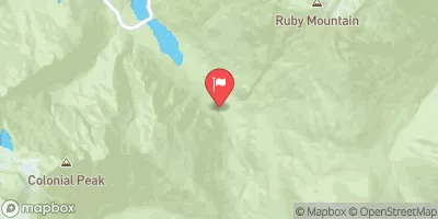
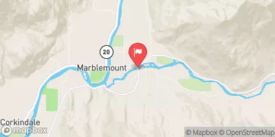
Nearby Streamflow Levels
Area Campgrounds
| Location | Reservations | Toilets |
|---|---|---|
 Cloudy Pass Camp
|
||
 Lyman Lake Camp
|
||
 Upper Lyman Lakes
|
||
 Holden Ballpark Campground
|
||
 Lady camp
|
||
 Waynes camp
|
River Runs
-
 Headwaters And Includes All Tributaries To Confluence With South Fork Agnes Creek
-
 Headwaters And Includes All Tributaries To Confluence With Agnes Creek
-
 Headwaters And Includes All Tributaries To Ends 1/4 Mile Upstream Of The Confluence With The Stehekin River
-
 Headwaters And Includes All Tributaries Including Hilgard Creek And Sable Creek To Ends 1/2 Mile Upstream Of The Confluence With The Stehekin River


