Summary
The headwaters of the river start in the Cascade Mountains and include all tributaries that flow into the Whitewater River until it reaches the confluence with North Fork Bridge Creek. The ideal streamflow range for the Whitewater River Run is between 500-1500 cfs, providing a thrilling ride for intermediate and advanced paddlers.
The river is rated as class III-IV, with some sections reaching class V during high water. The segment mileage of the river run is approximately 7 miles, starting at the put-in at Buck Creek Campground and ending at the take-out at the North Fork Bridge Creek confluence. Paddlers will encounter several notable rapids and obstacles, including "The Notch," "Double Drop," and "Surprise Rapid."
To ensure the safety of all paddlers, there are specific regulations that must be followed when accessing the river. A valid Washington State Discover Pass is required to park at the Buck Creek Campground and access the put-in. Additionally, paddlers should be aware of private property boundaries, as there are sections of the river that flow through private land.
Overall, the Whitewater River Run is a thrilling adventure for experienced paddlers seeking a challenge in the beautiful Washington wilderness.
°F
°F
mph
Wind
%
Humidity
15-Day Weather Outlook
River Run Details
| Last Updated | 2026-02-07 |
| River Levels | 941 cfs (15.36 ft) |
| Percent of Normal | 158% |
| Status | |
| Class Level | iii-iv |
| Elevation | ft |
| Run Length | 12.0 Mi |
| Streamflow Discharge | cfs |
| Gauge Height | ft |
| Reporting Streamgage | USGS 12447383 |
5-Day Hourly Forecast Detail
Nearby Streamflow Levels
Area Campgrounds
| Location | Reservations | Toilets |
|---|---|---|
 Walker Park
|
||
 Fisher
|
||
 Cosho
Cosho
|
||
 Buckner
|
||
 Thunder Basin Hiker
|
||
 Two Mile
|



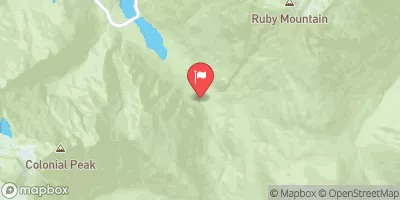
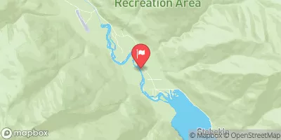
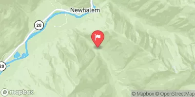
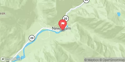
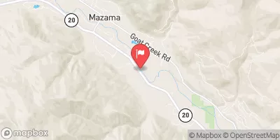
 Headwaters And Includes All Tributaries To Confluence With North Fork Bridge Creek
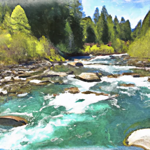 Headwaters And Includes All Tributaries To Confluence With Grizzly Creek
 Headwaters To Confluence With Thunder Creek
 Headwaters And Includes All Tributaries To Confluence With Bridge Creek