Wilderness Pasayten
Community Reviews
Been here? Share the conditions.
Reviews, ratings & photos are added in the free Snoflo iOS app — rate a spot, tag the conditions, and your visit is verified by location. Add or manage your reviews from the app.

Wilderness Pasayten
One of the main attractions of Wilderness Pasayten is its untouched wilderness. It is a vast area encompassing over 528,000 acres, making it one of the largest wilderness areas in the Pacific Northwest. The region boasts majestic mountains, pristine alpine lakes, cascading waterfalls, and sprawling meadows. It is a haven for outdoor enthusiasts, offering opportunities for hiking, backpacking, camping, wildlife viewing, and fishing.
The Pasayten Wilderness is also home to an impressive array of wildlife. Visitors may encounter various species such as black bears, mountain goats, mule deer, elk, and even the elusive gray wolves. Birdwatchers will delight in observing over 200 bird species, including golden eagles and harlequin ducks.
One of the notable points of interest within the Wilderness Pasayten is the Pasayten River. Flowing through the heart of the wilderness, it offers scenic views and excellent fishing opportunities. The river is popular among anglers seeking trout and salmon.
Another prominent feature is the Cathedral Peak, an iconic mountain in the area. Standing tall at 8,611 feet, it rewards hikers with breathtaking panoramic views from its summit. The surrounding alpine meadows and wildflower displays add to the beauty of this majestic peak.
For those interested in history, the Wilderness Pasayten has rich cultural significance. It was historically inhabited by Native American tribes and later utilized as a hunting ground by fur trappers. Several artifacts and remnants of this past still remain, making it a fascinating destination for history buffs.
The best time to visit the Wilderness Pasayten is during the summer months, from June to September. During this period, the weather is generally mild, and the trails are accessible. The wildflowers are in full bloom, painting the meadows in vibrant colors. However, it is important to note that the area can experience significant snowfall during winter, making it inaccessible during that time.
To ensure accuracy, it is recommended to verify the information provided across multiple independent sources, such as official park websites, visitor guides, and travel blogs.
Streamflow in Wilderness Pasayten
Live USGS discharge at streamgauges inside the park boundary.
Trails in Wilderness Pasayten
Named trails whose route falls inside the park.
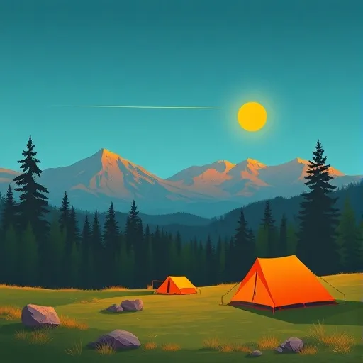
Camping in Wilderness Pasayten
Campgrounds inside the park, with today's conditions score.


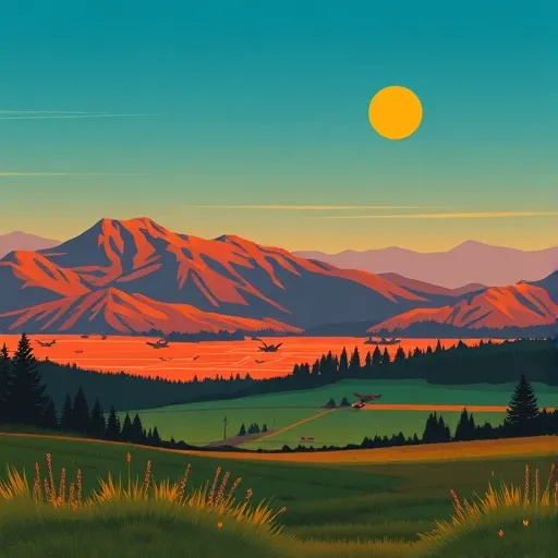
Points of interest in Wilderness Pasayten
Landmarks and points of interest inside the park boundary.

Plan your visit down to the hour
Same weather feed Snoflo's iOS app uses -- updated continuously from NOAA / yr.no.
Next 5 days, hour by hour
Temperature line with weather symbols on top, snow + rain accumulation as columns, humidity as a dotted line.
5-day forecast table
Every 3 hours, broken out across temperature, snow, rain, humidity, and wind.
| Time | Condition | Temp (°F) | Snow (in) | Rain (in) | Humidity (%) | Wind (mps) | Wind dir |
|---|---|---|---|---|---|---|---|
| Loading detailed forecast… | |||||||
15-day temperature & precipitation
Daily temperatures, snow, and rain projected over the next two weeks.
Responsible recreation & Leave No Trace
- Know before you go
- Check the operator's site for hours, permit requirements, seasonal closures, and fire restrictions before heading out.
- Stay on trail
- Stick to marked paths to protect vegetation, prevent erosion, and avoid disturbing wildlife habitat.
- Respect wildlife
- Observe from a distance, never feed wildlife, and store food securely if camping is permitted on-site.
- Pack it in, pack it out
- Carry out all trash, food scraps, and gear. Many parks have limited or no trash service.
- Leave what you find
- Don't take rocks, plants, or artifacts. They make the park what it is for the next visitor.
Set push alerts in the Snoflo app
Save Wilderness Pasayten as a favorite, set a custom threshold (precipitation, freezing temperatures, fire-restriction days), and the iOS app will push the moment conditions cross.
About Wilderness Pasayten
What can I do at Wilderness Pasayten?
Most Snoflo-tracked parks support hiking, picnicking, and wildlife viewing. Check the operator's site for activity-specific rules (camping, fishing, paddling, hunting).
How fresh is the weather data?
The hourly forecast updates throughout the day from NOAA / yr.no. Streamflow comes live from USGS streamgauges.
When is the best time to visit?
Use the 15-day temperature & precipitation outlook on this page to plan -- pick a window with comfortable temperatures and low precipitation.
How do I get to Wilderness Pasayten?
Tap Directions in the hero above to open driving directions in Google Maps, or Open in map to center the Snoflo interactive map on the park.
Can I get alerts when conditions change?
Yes -- alerts are managed in the Snoflo iOS app. Favorite this park, set a threshold (temperature, precipitation), and you'll get a push the moment it crosses.
Park & land designation reference
A quick legend for the federal and state land categories Snoflo tracks. Each designation comes with different rules around access, recreation, and resource extraction.
- National Park
- Large protected natural areas managed by the federal government to preserve significant landscapes, ecosystems, and cultural resources; recreation is allowed but conservation is the priority.
- State Park
- Public natural or recreational areas managed by a state government, typically smaller than national parks and focused on regional natural features, recreation, and education.
- Local Park
- Community-level parks managed by cities or counties, emphasizing recreation, playgrounds, sports, and green space close to populated areas.
- Wilderness Area
- The highest level of land protection in the U.S.; designated areas where nature is left essentially untouched, with no roads, structures, or motorized motorized access permitted.
- National Recreation Area
- Areas set aside primarily for outdoor recreation (boating, hiking, fishing, often around reservoirs, rivers, or scenic landscapes); may allow more development.
- National Conservation Area (BLM)
- BLM-managed areas with special ecological, cultural, or scientific value; more protection than typical BLM land but less strict than Wilderness Areas.
- State Forest
- State-managed forests focused on habitat, watershed, recreation, and sustainable timber harvest.
- Bureau of Land Management (BLM) Land
- Vast federal lands managed for mixed use -- recreation, grazing, mining, conservation -- with fewer restrictions than national parks or forests.