Summary
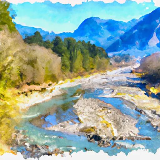
The river begins at the headwaters of the Olympic Mountains and includes all tributaries to the confluence with the South Fork Calawah River. The ideal streamflow range for the Whitewater River Run is between 500-2000 cfs. During peak snowmelt in the spring, the river can reach up to 3000 cfs, making it extremely dangerous for recreational activities.
The Whitewater River Run is rated as a Class III-IV whitewater run, with some sections reaching Class V. The segment mileage for the river run is approximately 10 miles, taking approximately 4-6 hours to complete. The river rapids are intense and challenging, with names such as Elkhorn, Boulder Drop, and Labyrinth. The obstacles and rapids on this run require advanced kayaking and rafting skills, making it unsuitable for beginners or inexperienced paddlers.
Specific regulations to the area include obtaining a permit before accessing the Whitewater River Run. The Olympic National Park Service issues permits for the river run and limits the number of users to preserve the natural beauty of the area. Additionally, visitors are required to pack out all their trash and follow Leave No Trace principles to protect the environment.
In conclusion, the Whitewater River Run in Washington State is a thrilling adventure for experienced kayakers and rafters. The ideal streamflow range is between 500-2000 cfs, with Class III-IV and some Class V rapids. The segment mileage is approximately 10 miles, and specific regulations to the area include obtaining a permit and following Leave No Trace principles. It is important to note that this run is not suitable for beginners or inexperienced paddlers.
°F
°F
mph
Wind
%
Humidity
15-Day Weather Outlook
River Run Details
| Last Updated | 2026-02-07 |
| River Levels | 1890 cfs (3.17 ft) |
| Percent of Normal | 64% |
| Status | |
| Class Level | iii-iv |
| Elevation | ft |
| Run Length | 151.0 Mi |
| Streamflow Discharge | cfs |
| Gauge Height | ft |
| Reporting Streamgage | USGS 12041200 |
5-Day Hourly Forecast Detail
Nearby Streamflow Levels
 Hoh River At Us Highway 101 Near Forks
|
1690cfs |
 Calawah River Near Forks
|
913cfs |
 Elwha River Above Lake Mills Nr Port Angeles
|
725cfs |
 Elwha River At Mcdonald Br Near Port Angeles
|
1270cfs |
 Hoko River Near Sekiu
|
279cfs |
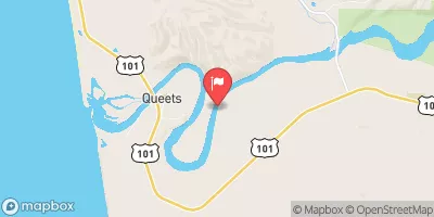 Queets River Near Clearwater
|
2990cfs |
Area Campgrounds
| Location | Reservations | Toilets |
|---|---|---|
 Hoh River Trust
|
||
 Minnie Peterson Campground
|
||
 Minnie Peterson
|
||
 Minnie Peterson- State Forest
|
||
 Hoh Rain Forest
|
||
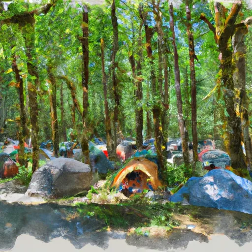 Hoh Ox Bow Campground
|


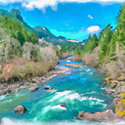 Headwaters And Includes All Tributaries To Confluence With South Fork Calawah River
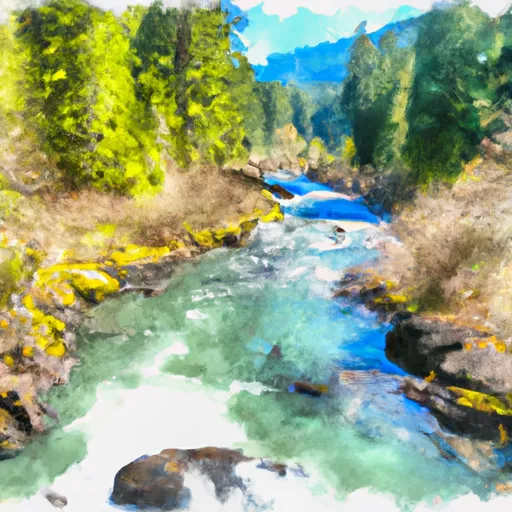 Headwaters And Includes All Tributaries To Confluence With Sunday Creek
 Headwaters And Includes All Tributaries To Confluence With Bogachiel River