Confluence Of North And South Forks Of Twisp River To Lake Chelan-Sawtooth Wilderness Boundary Paddle Report
Last Updated: 2026-02-07
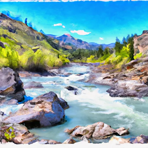
The Whitewater River Run from the Confluence of North and South Forks of Twisp River to Lake Chelan-Sawtooth Wilderness Boundary in Washington State is a Class III-IV river run, with an ideal streamflow range of 1000-2000 cfs.
Summary
The segment mileage is approximately 13.5 miles and includes several notable rapids and obstacles, such as the Twisp River Falls, which is a Class IV rapid.
Other notable rapids include the Root Canal, a Class III+ rapid, and the Drop Zone, a Class III rapid. The river run also features several scenic sections where paddlers can take in the natural beauty of the area.
Regulations for the Whitewater River Run include a permit system through the U.S. Forest Service, which limits the number of paddlers on the river at any given time. Additionally, the use of motorized watercraft is prohibited, and all paddlers must wear personal flotation devices and helmets.
Overall, the Whitewater River Run is a challenging and rewarding river run for experienced paddlers looking for a thrilling adventure in a pristine wilderness setting.
°F
°F
mph
Wind
%
Humidity
15-Day Weather Outlook
River Run Details
| Last Updated | 2026-02-07 |
| River Levels | 584 cfs (4.28 ft) |
| Percent of Normal | 147% |
| Status | |
| Class Level | iii-iv |
| Elevation | ft |
| Streamflow Discharge | cfs |
| Gauge Height | ft |
| Reporting Streamgage | USGS 12448000 |
5-Day Hourly Forecast Detail
Nearby Streamflow Levels
 Stehekin River At Stehekin
|
531cfs |
 Methow River Above Goat Creek Near Mazama
|
238cfs |
 Chewuch River At Winthrop
|
184cfs |
 Methow River At Winthrop
|
632cfs |
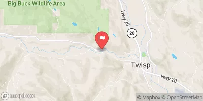 Twisp River Near Twisp
|
248cfs |
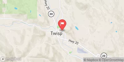 Methow River At Twisp
|
944cfs |
Area Campgrounds
| Location | Reservations | Toilets |
|---|---|---|
 Road's End
|
||
 Roads End
|
||
 South Creek Campground
|
||
 South Creek
|
||
 Hidden Meadows
|
||
 Hidden Meadows Stock Camp
|
River Runs
-
 Confluence Of North And South Forks Of Twisp River To Lake Chelan-Sawtooth Wilderness Boundary
-
 Headwaters And Includes All Tributaries To Confluence With Mcalester Creek
-
 Headwaters And Includes All Tributaries To Confluence With Bridge Creek
-
 Boundary Of The North Cascades National Park To Ends 1/4 Mile Upstream Of The Confluence With The Stehekin River

