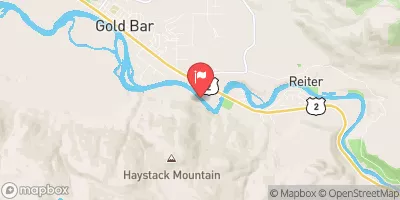
Summary
The ideal streamflow range for this segment of the river is between 1,500 and 4,000 cfs. The segment covers a distance of approximately 9.5 miles and has a class rating of III-IV, with some rapids reaching class V during high water.
Some of the specific river rapids and obstacles include the Boulder Drop, a class IV rapid with a large boulder in the center of the channel that requires precise navigation. The Carnage Rapid is a class V rapid that should only be attempted by experienced paddlers. Other notable rapids include the Pinball Rapid, the Zekes Rapid, and the Railroad Bridge Rapid.
There are specific regulations to the area that should be followed by all paddlers. The area is managed by the US Forest Service, and a Northwest Forest Pass is required for parking at the put-in and take-out locations. Paddlers should also be aware of the potential hazards associated with high water levels, especially during early spring runoff. It is recommended that paddlers wear appropriate safety gear, including helmets and personal flotation devices, and that they paddle with a partner or in a group.
°F
°F
mph
Wind
%
Humidity
15-Day Weather Outlook
River Run Details
| Last Updated | 2026-02-07 |
| River Levels | 3120 cfs (6.88 ft) |
| Percent of Normal | 75% |
| Status | |
| Class Level | v-iv |
| Elevation | ft |
| Streamflow Discharge | cfs |
| Gauge Height | ft |
| Reporting Streamgage | USGS 12134500 |
5-Day Hourly Forecast Detail
Nearby Streamflow Levels
Area Campgrounds
| Location | Reservations | Toilets |
|---|---|---|
 Gold Bar Nature Trails
|
||
 Money Creek
|
||
 Money Creek Campground
|
||
 Troublesome Creek Campground
|
||
 Troublesome Creek
|
||
 San Juan
|
River Runs
-
 Confluence Of Tye And Foss Rivers To Gold Bar
-
 Confluence With Troublesome Creek To Confluence With South Fork Skykomish River
-
 End Of Usfs Road 63 To Confluence With Troublesome Creek
-
 Usfs Road 63 To Confluence With North Fork Skykomish River
-
 Headwaters At Outlet Of Blanca Lake To Usfs Road 63
-
 Confluence Of East And West Forks Of Miller River To Confluence With South Fork Skykomish River


