Summary
The ideal streamflow range for this run is between 1000 and 3000 cubic feet per second (cfs). This range ensures a thrilling ride while still maintaining safety.
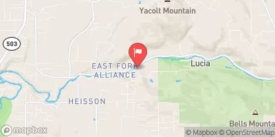
The class rating for this run is class III to IV, with some challenging rapids and obstacles. The segment mileage is around 10 miles, starting at the confluence with Smith Creek and ending at the confluence with the Lewis River.
Some of the notable rapids and obstacles on this run include the "Toilet Bowl" and "Headwall" rapids. The former is a swirling vortex that can be difficult to navigate, while the latter requires precise maneuvering through a narrow chute between rocks.
There are specific regulations to the area that must be followed, including the use of proper safety equipment such as helmets and life jackets. It is also important to respect private property and not litter or damage the surrounding environment.
°F
°F
mph
Wind
%
Humidity
15-Day Weather Outlook
River Run Details
| Last Updated | 2026-02-07 |
| River Levels | 551 cfs (15.8 ft) |
| Percent of Normal | 83% |
| Status | |
| Class Level | iii |
| Elevation | ft |
| Streamflow Discharge | cfs |
| Gauge Height | ft |
| Reporting Streamgage | USGS 14216500 |
5-Day Hourly Forecast Detail
Nearby Streamflow Levels
Area Campgrounds
| Location | Reservations | Toilets |
|---|---|---|
 Swift Forest Camp
|
||
 Campground: Lower Falls
|
||
 Lower Falls
|
||
 Campground: Paradise Creek
|
||
 Paradise Creek
|
||
 Berry Camp
|
River Runs
-
 Confluence With Smith Creek To Confluence With Lewis River
-
 Mt. Adams Wilderness Boundary To Gifford Pinchot Nf Boundary
-
 Gifford Pinchot Nf Boundary To Maximum Pool Of Swift Reservoir In Nw1/4 Of Sec 35, T7N, R6E
-
 Middle Of Sec 19, T8N, R7E To Confluence With Muddy River In Se1/4 Of Sec 1, T7N, R6E
-
 Trail 80 Crossing In Nw1/4 Of Sec 28, T9N, R5E To Middle Of Sec 19 T8N, R7E
-
 (Smith Creek Segment) Headwaters In Se 1/4 Of Sec 3, T8N, R5E To Confluence With Muddy River


