Summary
Baker-Snoqualmie Nf Boundary in Washington State is a thrilling adventure for experienced kayakers and rafters. The ideal streamflow range for this run is between 500-2,000 cfs. The river is rated Class III-IV and has a total segment mileage of approximately 14 miles.
Some of the specific rapids and obstacles that kayakers and rafters will encounter on this run include "Jaws of Death," "S-turn," and "The Flume." These rapids are considered to be some of the most challenging on the river and require skilled maneuvering to navigate safely.
There are specific regulations that must be followed when kayaking or rafting on the Whitewater River. All participants must wear a personal flotation device and helmets. In addition, all kayakers and rafters are required to follow Leave No Trace principles to protect the natural environment.
It is important to note that this run is not recommended for beginners or inexperienced kayakers and rafters. The Whitewater River Run is a challenging and potentially dangerous adventure that requires proper training, experience, and equipment. Always check current river conditions and weather forecasts before embarking on this run.
°F
°F
mph
Wind
%
Humidity
15-Day Weather Outlook
River Run Details
| Last Updated | 2026-02-07 |
| River Levels | 639 cfs (5.25 ft) |
| Percent of Normal | 89% |
| Status | |
| Class Level | iii-iv |
| Elevation | ft |
| Streamflow Discharge | cfs |
| Gauge Height | ft |
| Reporting Streamgage | USGS 12179900 |
5-Day Hourly Forecast Detail
Nearby Streamflow Levels
Area Campgrounds
| Location | Reservations | Toilets |
|---|---|---|
 Grandy Lake Campground
|
||
 Rasar State Park
|
||
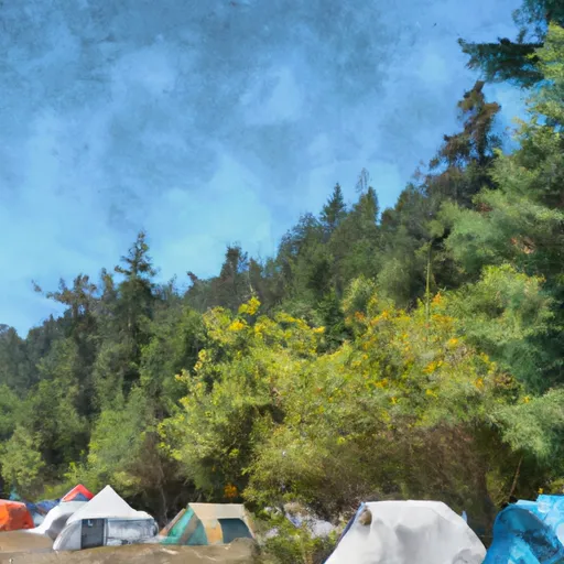 low camp
|
||
 Horseshoe Cove Campground
|
||
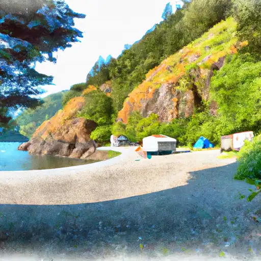 Horseshoe Cove
|
||
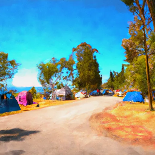 Bayview Campground
|


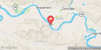
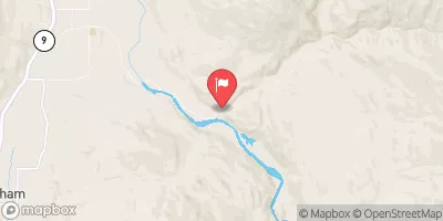
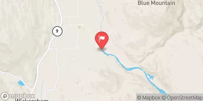
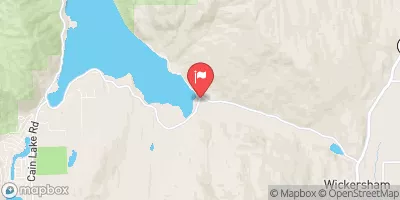
 Pressentin Road 40500-40592, Concrete
 Bell Creek To Mt. Baker-Snoqualmie Nf Boundary
 Headwaters To Confluence With Bell Creek
 Headwaters In Ne1/4 Of Sec 23, T37N, R7E To Confluence With Soufh Fork Nooksack River